Support inclus pendant un an
Toutes les licences incluent 1 an de mises à jour et de support. Une option de 3 ans est également disponible à un tarif réduit
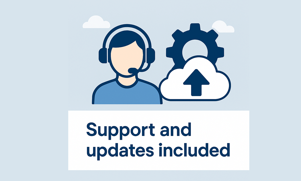
Support inclus pendant un an
- Téléchargez les mises à jour de l'application pendant cette période, qui comprendront de nombreuses nouvelles fonctionnalités, améliorations, corrections et compatibilité avec les prochaines versions.
- Support par e-mail, traité directement par notre équipe technique.
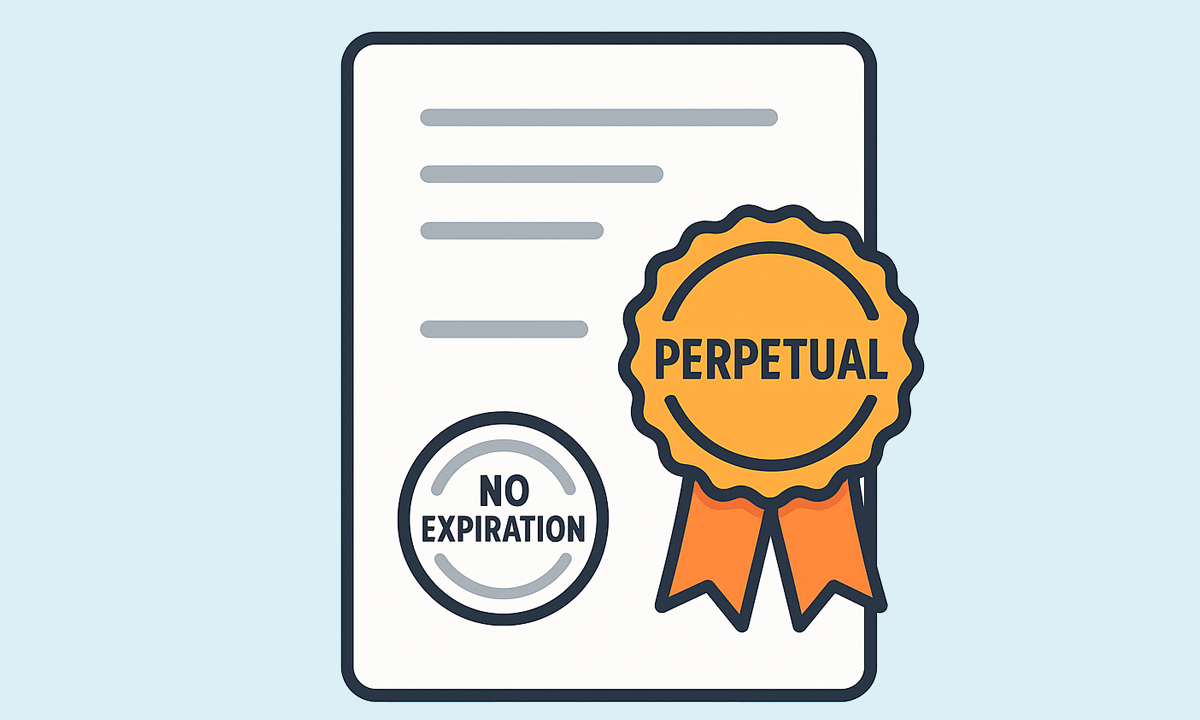
Les licences sont perpétuelles et n’expirent pas. Tous les achats sont des paiements uniques — aucun frais récurrent ni abonnement
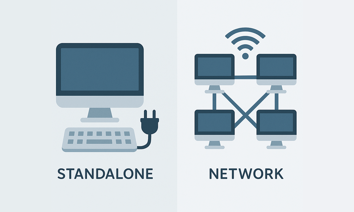
Les licences individuelles peuvent être utilisées simultanément sur autant d’ordinateurs que de licences achetées, tandis que les licences réseau permettent l’installation sur jusqu’à 3× le nombre de licences, mais l’utilisation simultanée est limitée au nombre de licences

Spatial Manager creates buffer polygons around points to show the area within a chosen distance of each location. This is useful for showing a facility’s service area or finding objects... more

Access and import authoritative LINZ (Land Information New Zealand) vector datasets directly into your DWG through the LINZ WFS (Web Feature Service). Spatial Manager connects to the WFS endpoint and... more

Download and import official Land Information New Zealand (LINZ) data into a DWG using Spatial Manager, either through open services (WFS / OGC API Features) or distributed files (SHP, GeoJSON,... more

View detailed, high-resolution LINZ background maps directly in your DWG through WMTS services–no prior tile download required. Spatial Manager connects to the LINZ WMTS endpoint, requests only the tiles needed... more