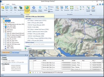
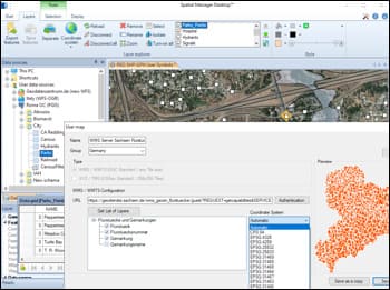
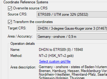
Lors des processus d'importation ou d'exportation, les entités peuvent être automatiquement transformées entre différents systèmes de coordonnées.
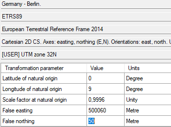
Sélectionnez le SCR source et cible à partir d’un catalogue complet, avec un accès rapide aux systèmes récemment utilisés ou favoris.
Cela garantit une précision spatiale lors du traitement de données issues de références géographiques différentes.
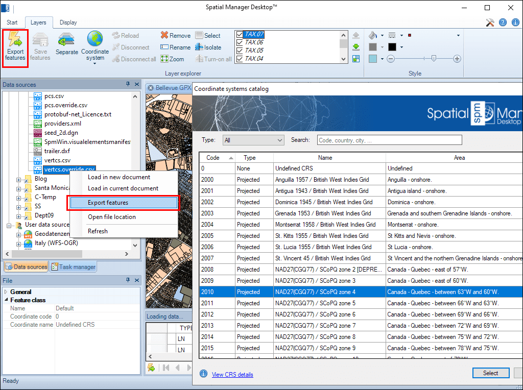
Many ‘Spatial Manager’ functions (Import, Export, Background Maps, etc.) can automatically perform a process of coordinates Transformation from the source to the target as part of the sequence executed by... more
An application whose primary focus is the spatial information handling (such as ‘Spatial Manager’), must include specific functionalities related to Coordinate Reference Systems (CRSs) and Transformations of geographic data... more
Over the last few days a large number of Coordinate Systems used in Western Australia have been added to the ‘Spatial Manager’ geographic databases, along with all the required... more
Using base maps (roads, aerial, etc.) from imagery providers allows, not only the composition of more attractive Maps in mapping applications, but also the use of these base images as a practical... more