Cartes toujours mises à jour
Toute modification du CRS de la Carte ou de ses Couches entraîne une mise à jour automatique du document. Vous pouvez vérifier graphiquement la correspondance ou l'exactitude des informations des origines sur la Carte composée
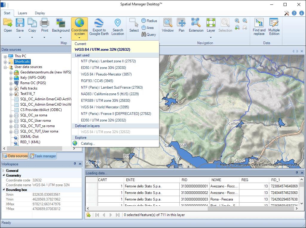
Cartes toujours mises à jour
Cela garantit la cohérence spatiale et permet de vérifier visuellement l’alignement et la précision de toutes les données sources dans la carte composée.
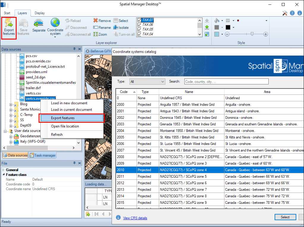
Transformations géométriques des éléments selon les procédures d'importation ou d'exportation. Système de Coordonnées de Référence (CRS) des données d'origine et de destination. Catalogue complet des CRSs. Liste déroulante comprenant les CRSs favorites ou les plus fréquemment utilisées
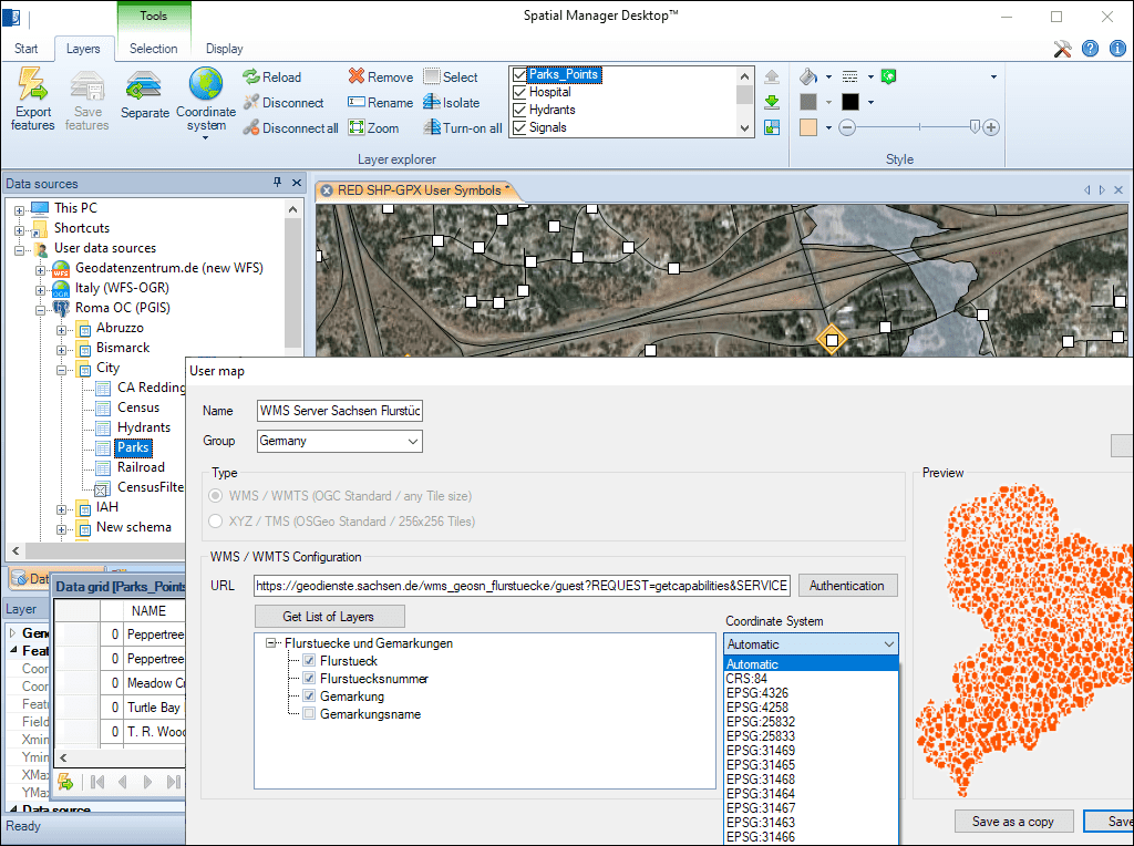
Les Cartes de Fond sont également adaptées automatiquement en fonction de leur CRS et du CRS sélectionné pour la Carte des Documents. Vous pouvez choisir le CRS parmi ceux disponibles pour une Carte de Fond de l'utilisateur ou laisser l'application sélectionner automatiquement le plus approprié
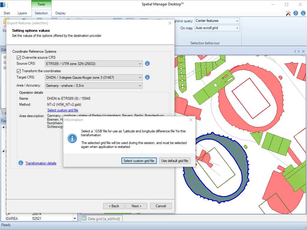
L'application permet de charger des fichiers de grille personnalisés pour la transformation des coordonnées NTv2 et Nadcon
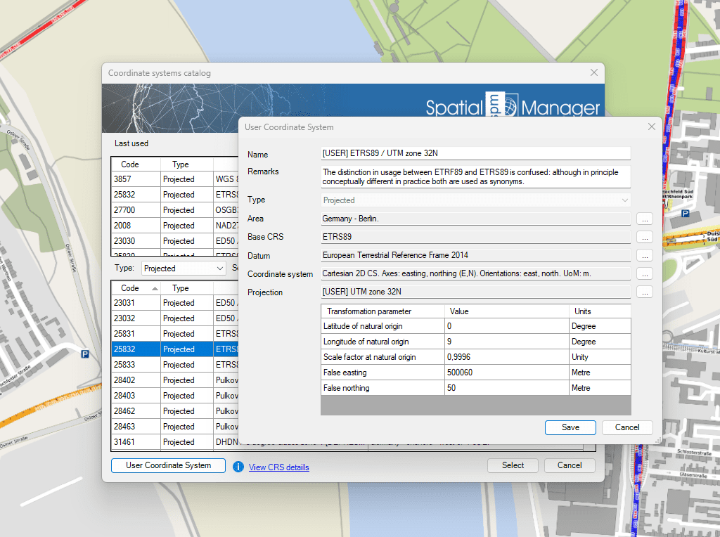
Cette fonction vous permet de définir vos propres systèmes de coordonnées en fonction de vos besoins spécifiques

Many ‘Spatial Manager’ functions (Import, Export, Background Maps, etc.) can automatically perform a process of coordinates Transformation from the source to the target as part of the sequence executed by... more

An application whose primary focus is the spatial information handling (such as ‘Spatial Manager’), must include specific functionalities related to Coordinate Reference Systems (CRSs) and Transformations of geographic data (vector... more

Over the last few days a large number of Coordinate Systems used in Western Australia have been added to the ‘Spatial Manager’ geographic databases, along with all the required geographical... more

Using base maps (roads, aerial, etc.) from imagery providers allows, not only the composition of more attractive Maps in mapping applications, but also the use of these base images as a practical... more