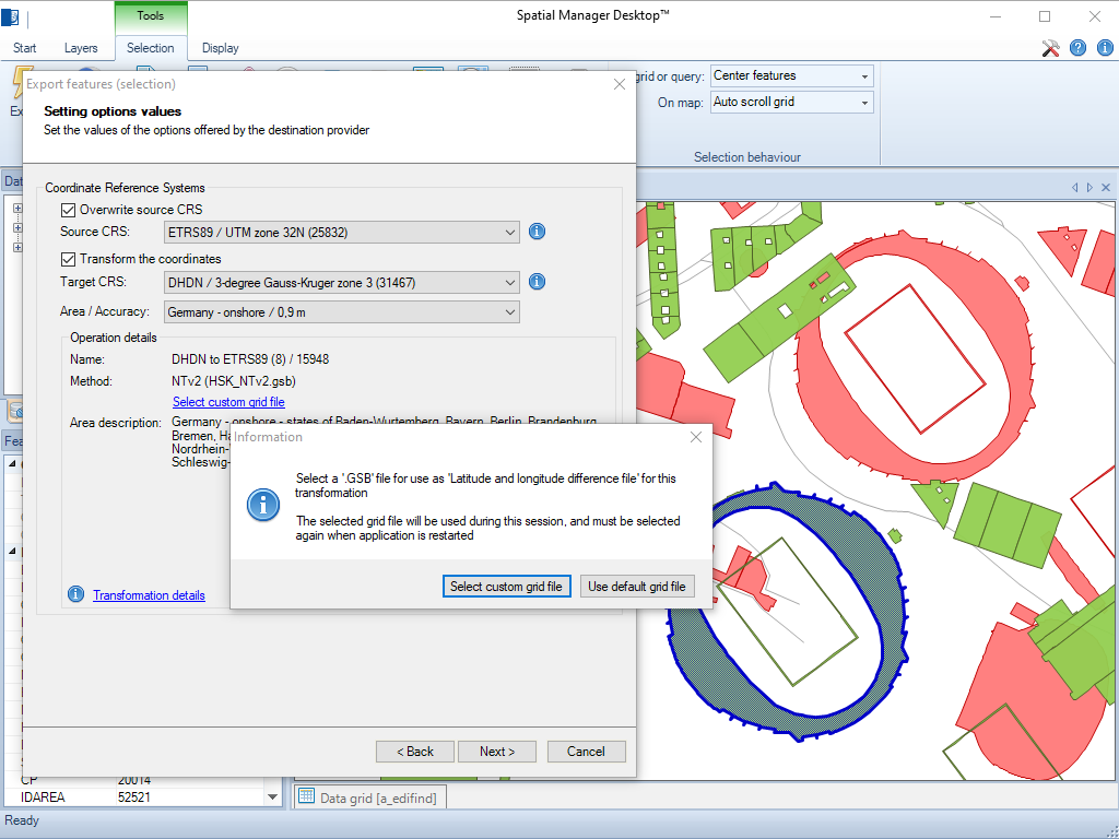
Spatial Manager Desktop™ prend en charge l’utilisation de fichiers de grille NTv2 personnalisés pour des transformations de coordonnées plus précises.
Ces grilles permettent aux utilisateurs d’appliquer des corrections géodésiques de haute précision lors de la conversion entre systèmes de coordonnées, améliorant ainsi la précision des données spatiales dans les projets nécessitant des standards géodésiques nationaux ou régionaux.
Many ‘Spatial Manager’ functions (Import, Export, Background Maps, etc.) can automatically perform a process of coordinates Transformation from the source to the target as part of the sequence executed by... more
An application whose primary focus is the spatial information handling (such as ‘Spatial Manager’), must include specific functionalities related to Coordinate Reference Systems (CRSs) and Transformations of geographic data... more
Over the last few days a large number of Coordinate Systems used in Western Australia have been added to the ‘Spatial Manager’ geographic databases, along with all the required... more
Using base maps (roads, aerial, etc.) from imagery providers allows, not only the composition of more attractive Maps in mapping applications, but also the use of these base images as a practical... more