Découvrez tout le potentiel de cet ensemble d’outils conçu pour améliorer l’intégration et l’édition des données SIG dans .
Cartes d'utilisateur
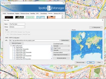
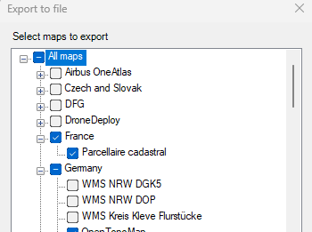
Configurez de nouveaux Groupes et de nouvelles Cartes en entrant un minimum de données. Il y a aussi des outils pour modifier les données de configuration des Cartes ou les supprimer de la liste ainsi qu'exporter/importer des définitions de cartes personnalisées à partager avec d'autres utilisateurs.
Se connecter aux services de cartes personnalisés
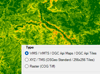
Connectez-vous à votre fournisseur local de cartes et accédez aux types de sources de données les plus courants :
- Cartes WMS/OGC API : Service de carte web
- Tuiles WMTS/OGC API : Service de tuiles cartographiques web
- XYZ/TMS : Service standard de tuiles cartographiques
- COG Tiff : Geo Tiff optimisé pour le cloud
