Services de cartes prédéfinis
Amélioration en V10Accédez à diverses cartes d’arrière-plan de haute qualité issues de plusieurs fournisseurs
Découvrez tout le potentiel de cet ensemble d’outils conçu pour améliorer l’intégration et l’édition des données SIG dans .
Google Maps
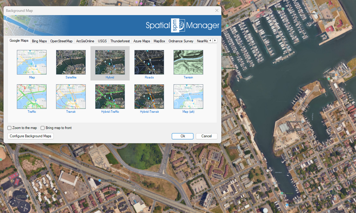
Bing Maps

OpenStreetMap
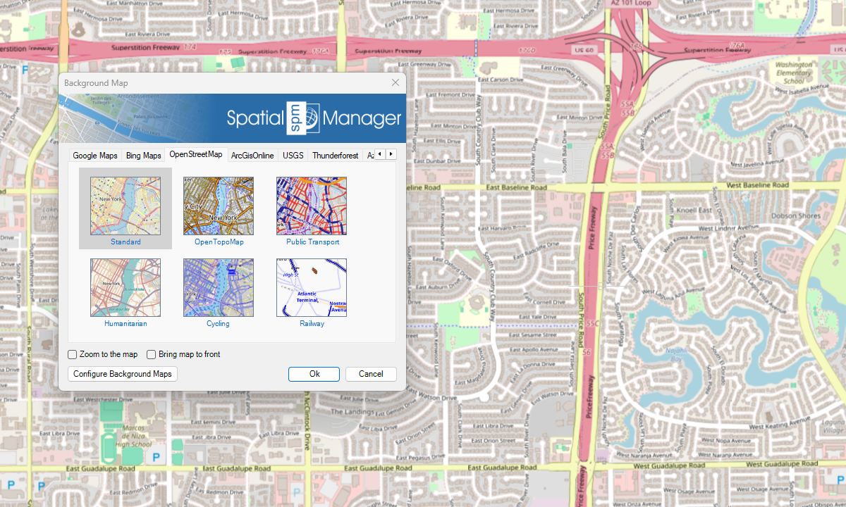
ArcGIS

USGS

Azure Maps
Nouveauté en V10
Autres

Remarques

Changez rapidement le fond des cartes en choisissant entre des couleurs solides ou des images géoréférencées de haute qualité comme carte de base
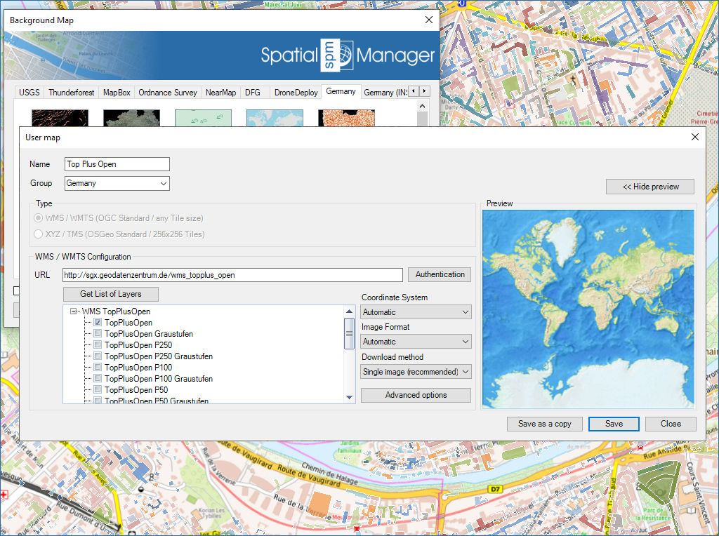
Configurez de nouveaux Groupes et de nouvelles Cartes en entrant un minimum de données. Il y a aussi des outils pour modifier les données de configuration des Cartes ou les supprimer de la liste

Mapflow is a cutting-edge geospatial intelligence platform leveraging artificial intelligence to automatically identify and classify geographic objects–such as buildings, roads, and forested areas–within satellite and aerial imagery. Mapflow enables high-precision... more

The Farm Service Agency of the U.S. Department of Agriculture (USDA) provides web services for accessing the National Agriculture Imagery Program (NAIP). Spatial Manager products provide an easy way to... more

In this post we will review the tools provided by ‘Spatial Manager’ for accessing geographic dataset services, both imagery and vector. This example will use some of the datasets provided... more

‘Airbus OneAtlas’ service provide access to high-resolution satellite imagery, innovative geospatial analytics and industry-specific insights. This post explains how to configure ‘Spatial Manager’ Background Maps in order to dynamically access... more