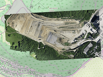
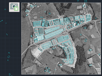
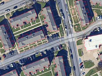
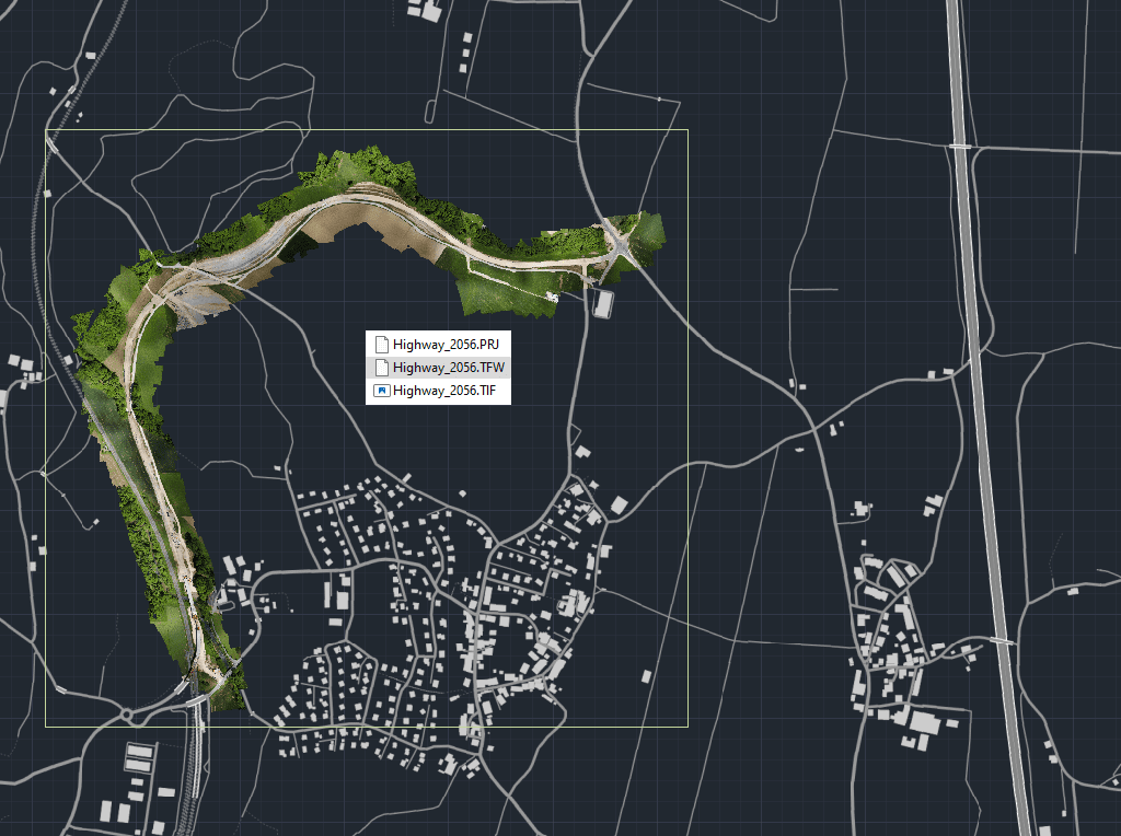
Exporta todos los datos de georreferenciación de cualquier imagen ráster en tu dibujo a un Archivo World externo.
Un Archivo World es un archivo de texto plano utilizado en GIS para almacenar información de referencia espacial —como la ubicación, escala y rotación de la imagen— que permite que la imagen ráster se posicione y alinee correctamente dentro de los sistemas de coordenadas geográficas al importarse en otros programas GIS o CAD.
Esto garantiza que tus imágenes mantengan una colocación real precisa en diferentes plataformas.
This article explains how to start a drafting or design project using a Google Earth imagery base. It provides step-by-step instructions on how to overlay drawings, plans, or architectural projects... more
Download historical imagery directly from Google Earth to your DWG using your preferred CAD platform for enhanced accuracy and analysis. Get aerial photographs from different dates and compare the evolution... more
Learn quickly and easily how to integrate Google Earth high quality images with your DWG using your preferred CAD platform. A wide range of resolutions are available up to 8K... more
Today, it is very common to get photographs with embedded GPS location. You can take these kind of pictures easily with your own mobile or camera. Latitude and longitude is... more