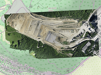
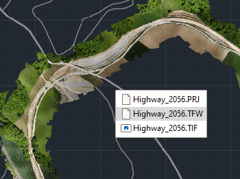
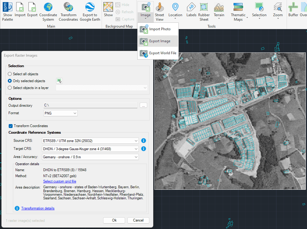
Exportación de imágenes ráster georreferenciadas desde tu dibujo en varios formatos compatibles, incluyendo TIF, PNG, JPG, entre otros.
El proceso de exportación puede incluir transformaciones del sistema de coordenadas para asegurar que las imágenes estén posicionadas con precisión para su uso en otras aplicaciones GIS o CAD.
This article explains how to start a drafting or design project using a Google Earth imagery base. It provides step-by-step instructions on how to overlay drawings, plans, or architectural projects... more
Download historical imagery directly from Google Earth to your DWG using your preferred CAD platform for enhanced accuracy and analysis. Get aerial photographs from different dates and compare the evolution... more
Learn quickly and easily how to integrate Google Earth high quality images with your DWG using your preferred CAD platform. A wide range of resolutions are available up to 8K... more
Today, it is very common to get photographs with embedded GPS location. You can take these kind of pictures easily with your own mobile or camera. Latitude and longitude is... more