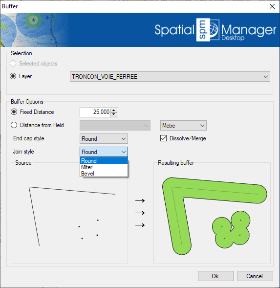
Un buffer es una zona generada a una distancia definida alrededor de elementos espaciales como puntos, líneas o polígonos.
Puedes crear estas áreas buffer como nuevos objetos poligonales, que son útiles para analizar proximidad, áreas de impacto o zonas de influencia.
Esta herramienta es ideal para tareas como identificar áreas dentro de un cierto radio alrededor de una carretera, instalación o elemento geográfico.
Mapflow is a cutting-edge geospatial intelligence platform leveraging artificial intelligence to automatically identify and classify geographic objects—such as buildings, roads, and forested areas—within satellite and aerial imagery.... more
In this third example on spatial analysis using Overlays in ‘Spatial Manager’ we will apply the “Intersect” operator. This operator determines the geometries that overlap in the Source and Overlay... more
In this second post dealing with Overlays in ‘Spatial Manager’, we will analyze another interesting operator (Clip), which creates objects from the areas of the Source that overlap with the... more
This post starts a series dedicated to one of the most powerful geometric and data-driven analysis tools included in ‘Spatial Manager’: the Overlay command. There are several operators to apply... more