Consulte sus datos espaciales
Consulta de selecciones llevando a cabo operaciones geométricas para localizar elementos que interfieran con otros elementos bajo ciertas condiciones (intersecciones, tocar, dentro de, contiene, disjuntos, superposiciones o cruces)
Consulte sus datos espaciales
Esto ayuda a identificar y analizar elementos que cumplen condiciones espaciales específicas dentro de tu dibujo.
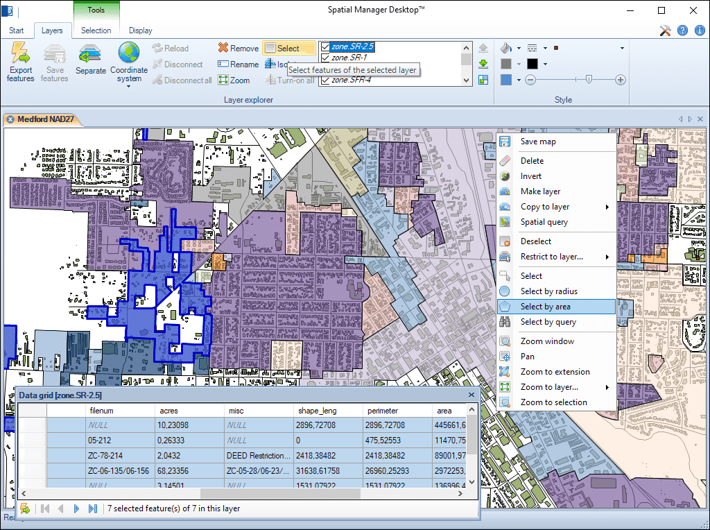
Múltiples métodos de selección gráfica y selección de capas. Añada o elimine elementos a las selecciones mediante el uso de varios métodos. Filtre rápidamente las selecciones por capa
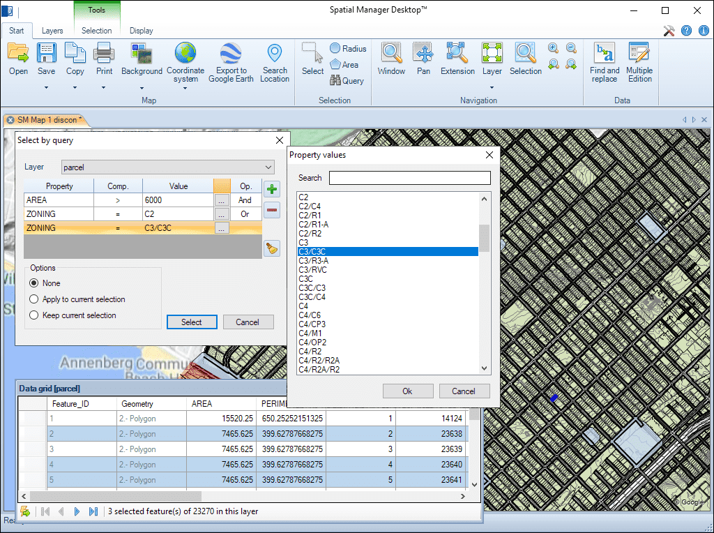
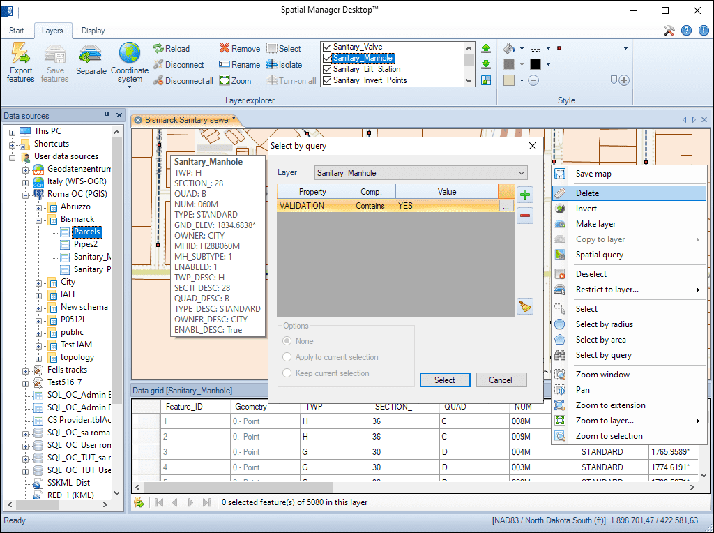
Selecciones simples o complejas por consulta. Selecciones en la rejilla de datos. Herramientas de navegación en la rejilla de datos a través de las selecciones. Información avanzada para las selecciones en la rejilla de datos
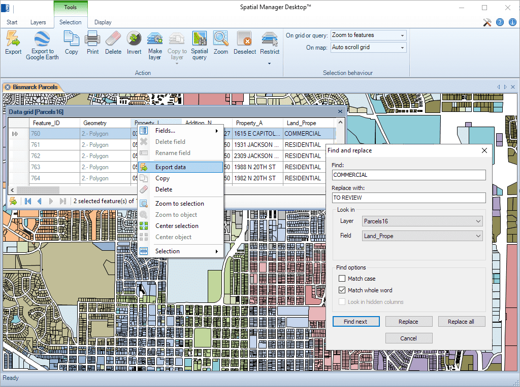
Encuentre (y reemplace) datos en la rejilla de datos aplicada a los valores de los campos en las capas. Se incluye la funcionalidad "Reemplazar todo". Informes incluyendo valores y campos modificados
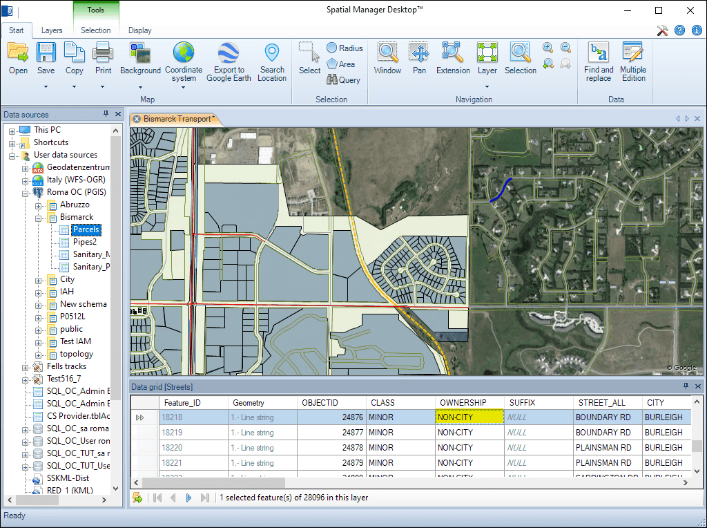
Modifique rápidamente el valor de cualquier campo de la capa en la rejilla de datos
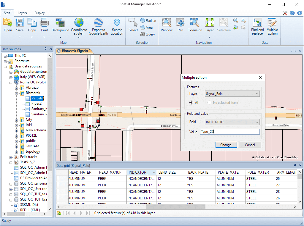
Modifique el valor de cualquier campo de la capa en la cuadrícula de datos para más de un elemento simultáneamente
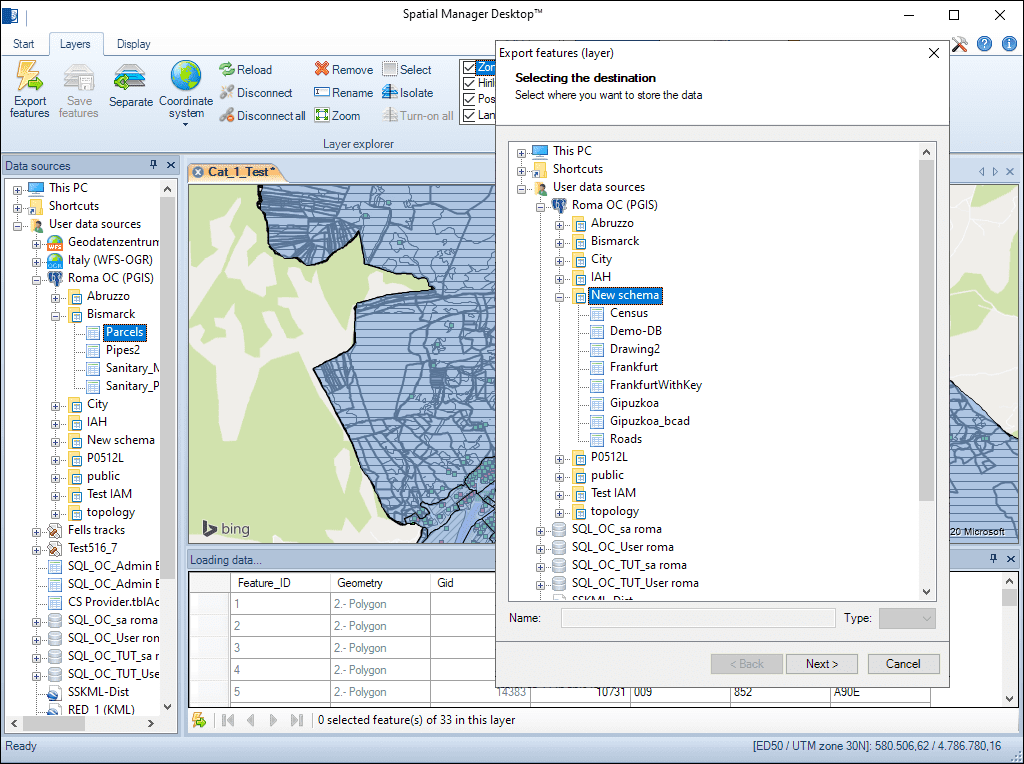
Cualquier capa externa puede ser guardada para reemplazar la tabla de datos original. Las capas internas, como las capas nuevas o desconectadas, pueden exportarse a una tabla en cualquier archivo espacial, servidor de base de datos o conexión espacial

Reverse geocoding is the process of converting geographic coordinates (latitude and longitude) into a human-readable address or place name. This is typically done using a reverse geocoding service or API,... more

GML (Geography Markup Language) is an XML-based language created by the Open Geospatial Consortium (OGC) for modeling, transporting, and storing geographic information. GML files classify elements by type, and Spatial... more

Perform calculations on new or existing field values by applying a wide range of operators and functions, such as arithmetic operations (addition, subtraction, multiplication, division), mathematical functions (square root, logarithms,... more

Direct geocoding is the process of converting an address or a place name into geographic coordinates (latitude and longitude). This is typically done using a geocoding service or API which... more