Import von Fotos mit EXIF-GPS-Daten in ZWCAD
Import von Fotos mit GPS-Standort (in den EXIF-Daten enthalten), die zum Zeitpunkt der Aufnahme erfasst und beim Import automatisch an der richtigen Stelle in der Zeichnung platziert werden
Import von Fotos mit EXIF-GPS-Daten
Während des Imports werden die Fotos automatisch an ihren genauen geografischen Positionen in der Zeichnung platziert und spiegeln den exakten Ort wider, an dem sie aufgenommen wurden.
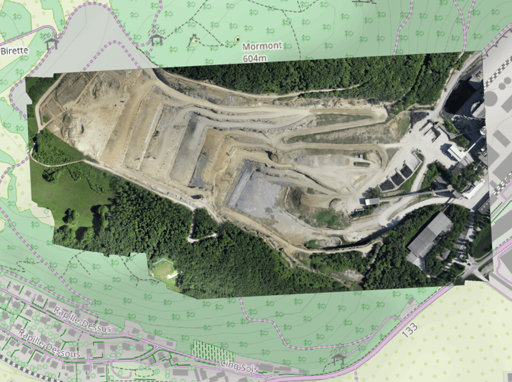
Import von georeferenzierten Rasterbildern in die Zeichnung. Unterstützt eine Vielzahl von Formaten wie TIF, PNG, JPG, JPEG, TIFF, Cloud Optimized GeoTIFF, ... (Liste der Datenanbieter).
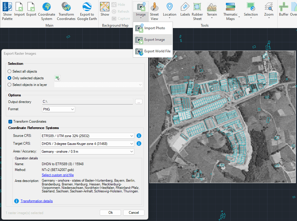
Export von georeferenzierten Rasterbildern aus der Zeichnung. Unterstützt eine Vielzahl von georeferenzierten Formaten wie TIF, PNG, JPG, ...(Liste der Datenanbieter).
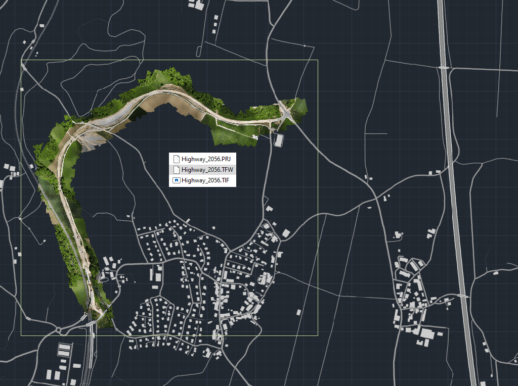
Exportieren Sie die vollständigen Georeferenzinformationen jedes in Ihrer Zeichnung enthaltenen Rasterbildes in eine externe Datei
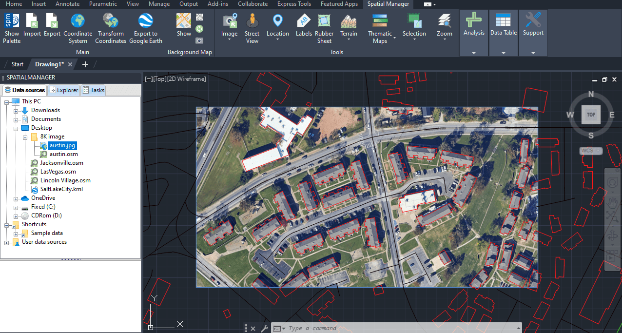
Importieren Sie hochwertige und historische Rasterbilder aus Google Earth mit Hilfe einer Konfigurationsdatei (.geprint), in der die Kartenoptionen und die Geolokalisierung gespeichert sind

This article explains how to start a drafting or design project using a Google Earth imagery base. It provides step-by-step instructions on how to overlay drawings, plans, or architectural projects... more

Download historical imagery directly from Google Earth to your DWG using your preferred CAD platform for enhanced accuracy and analysis. Get aerial photographs from different dates and compare the evolution... more

Learn quickly and easily how to integrate Google Earth high-quality images with your DWG using your preferred CAD platform. A wide range of resolutions are available up to 8K UHD,... more

Today, it is very common to get photographs with embedded GPS locations. You can take these kinds of pictures easily with your own phone or camera. Latitude and longitude are... more