Klonen der Karte
Der Prozess berücksichtigt die aktuelle Organisation der Ebenen und die Eigenschaften der Ebenen und Objekte. Die Elemente in der KML-/KMZ-Datei übernehmen die Farben, Gewichte usw. der Objekte in der Karte. Für jede Ebene wird auch eine Unterteilung basierend auf den Objekttypen in den Ebenen erstellt
Klonen der Karte
Die exportierte Datei organisiert die Elemente nach Objekttyp innerhalb jeder Ebene und stellt so sicher, dass Stil und Struktur der Karte originalgetreu in Google Earth wiedergegeben werden.
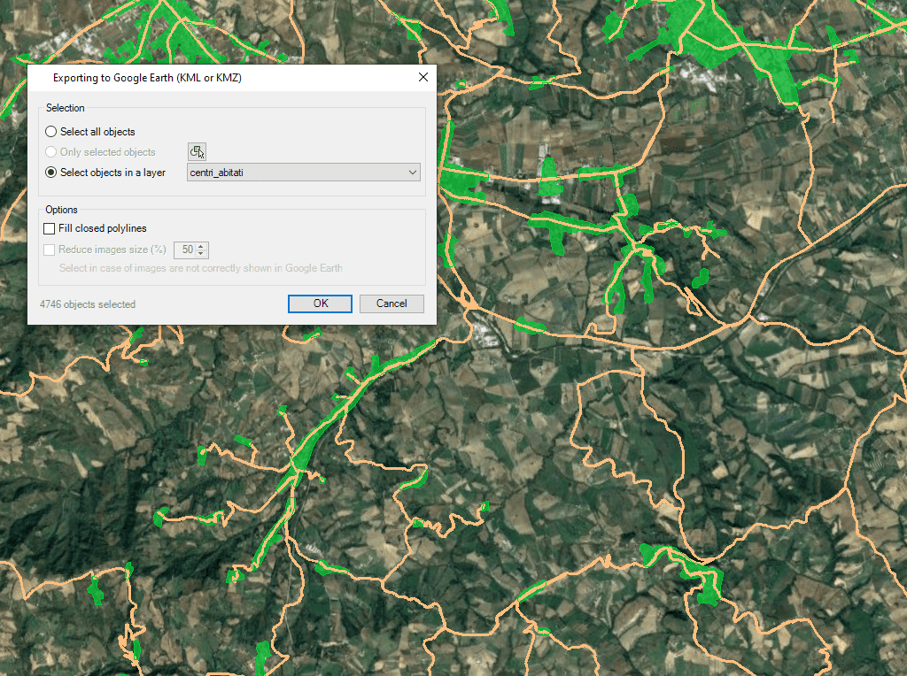
Unabhängig von den erweiterten Exportfunktionen der App findet der Benutzer ein spezielles Tool vor, um Objekte in den sichtbaren Ebenen der Zeichnung und ihre Daten ganz oder teilweise in eine KML- oder KMZ-Datei (Google Earth) mit nur einem Klick zu exportieren

Google Earth includes a little-known function that allows you to analyze the elevation profiles of roads, streets, highways, railways, paths, etc. polylines. The tools for export/publish to KML or KMZ... more

Google Earth is one of the most popular platforms for 2D and 3D visualization of spatial and geographic information, not only because it is free and very accessible to any... more

Regardless of the advanced Export capabilities of ‘Spatial Manager’, the applications include a specific function designed to Publish the drawing or map and their data to Google Earth through an instantaneous one-click... more

It is a common practice to use Google Earth as a visual tool to show spatial information in a standard format which many users already know through an intuitive and easy to... more