Angepasste Hintergrundkarten
Die Hintergrundkarten werden auch automatisch entsprechend ihrer CRS und der für die Karte im Dokument ausgewählten CRS angepasst. Sie können das CRS aus den für eine Benutzer-Hintergrundkarte verfügbaren auswählen oder die App automatisch das am besten geeignete auswählen lassen
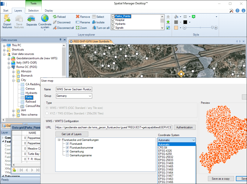
Angepasste Hintergrundkarten
Sie können manuell ein KBS aus den verfügbaren für eine benutzerdefinierte Hintergrundkarte auswählen oder Spatial Manager™ das am besten geeignete auswählen lassen.
Dies gewährleistet eine präzise Geolokalisierung und eine konsistente Anzeige innerhalb der Zeichnung.
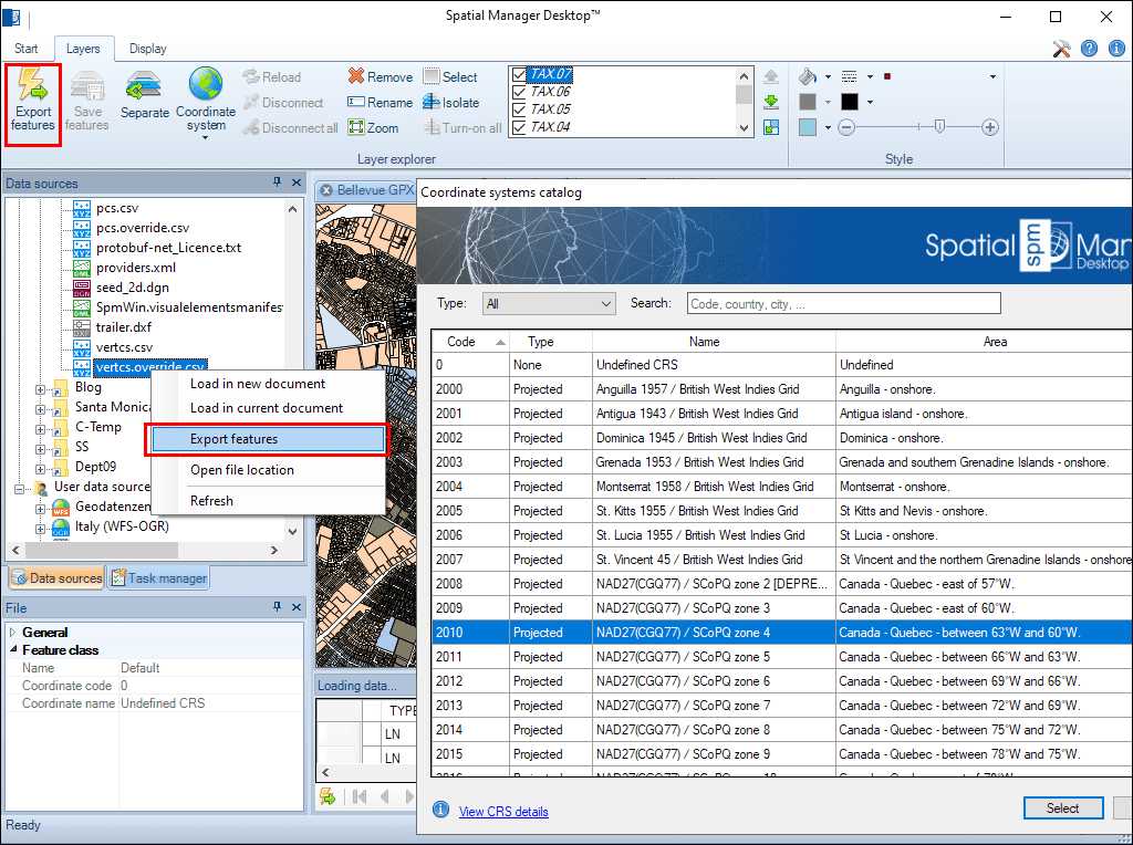
Geometrische Umwandlungen der Elemente im Einklang mit den Import- oder Exportprozessen. Koordinatenreferenzsystem (CRS) der Quell- und Zieldaten. Kompletter CRS-Katalog. Dropdown-Liste mit den bevorzugten oder zuletzt verwendeten CRSs
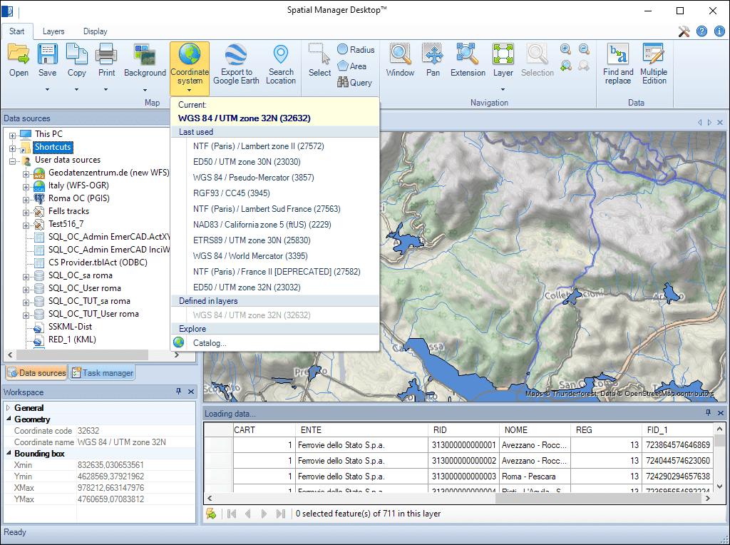
Jede Änderung des Karten-CRS oder der Karten-Ebenen-CRS führt zu einem automatischen Dokumenten-Update. Sie können die Übereinstimmung oder Genauigkeit der Quellinformationen auf der zusammengestellten Karte grafisch überprüfen
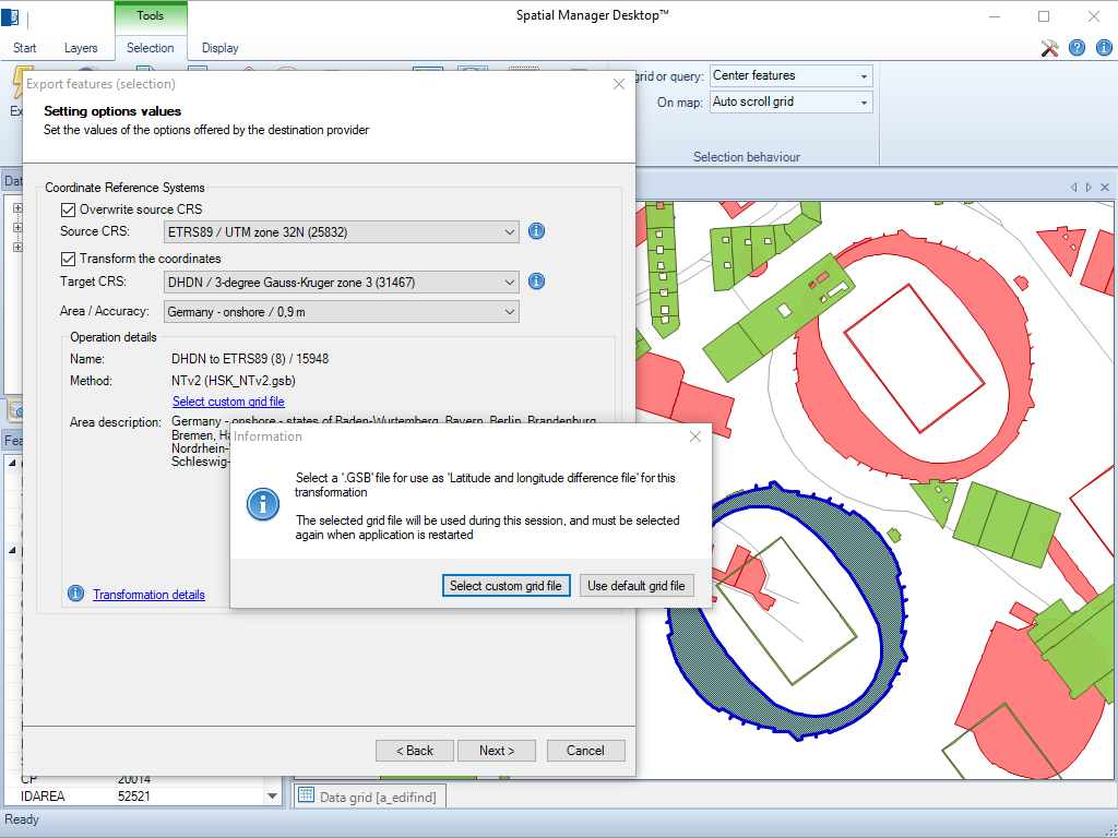
Die Anwendung ermöglicht das Laden benutzerdefinierter Gitterdateien für NTv2 und Nadcon Koordinatentransformationen
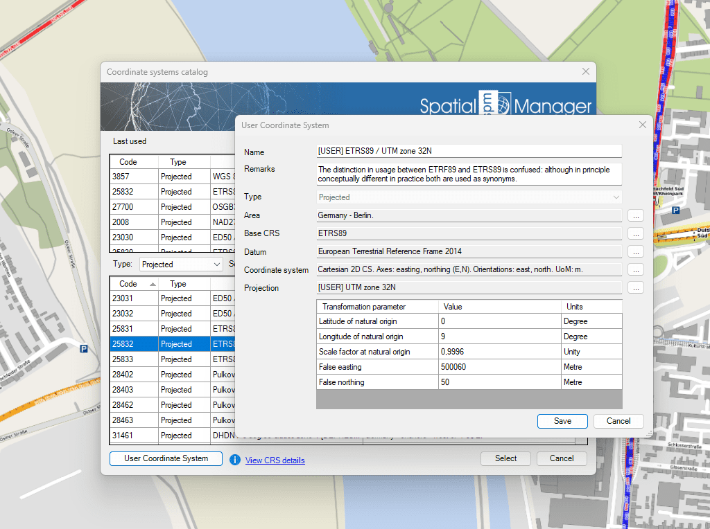
Mit dieser Funktion können Sie Ihre eigenen Koordinatensysteme definieren, die Ihren speziellen Anforderungen entsprechen

Many ‘Spatial Manager’ functions (Import, Export, Background Maps, etc.) can automatically perform a process of coordinates Transformation from the source to the target as part of the sequence executed by... more

An application whose primary focus is the spatial information handling (such as ‘Spatial Manager’), must include specific functionalities related to Coordinate Reference Systems (CRSs) and Transformations of geographic data (vector... more

Over the last few days a large number of Coordinate Systems used in Western Australia have been added to the ‘Spatial Manager’ geographic databases, along with all the required geographical... more

Using base maps (roads, aerial, etc.) from imagery providers allows, not only the composition of more attractive Maps in mapping applications, but also the use of these base images as a practical... more