Now Spatial Manager™ for AutoCAD or BricsCAD includes the command SPMBGMAPIMAGE that allows you to create (capture) a Raster Image corresponding to the display view of the current ‘Background Map’
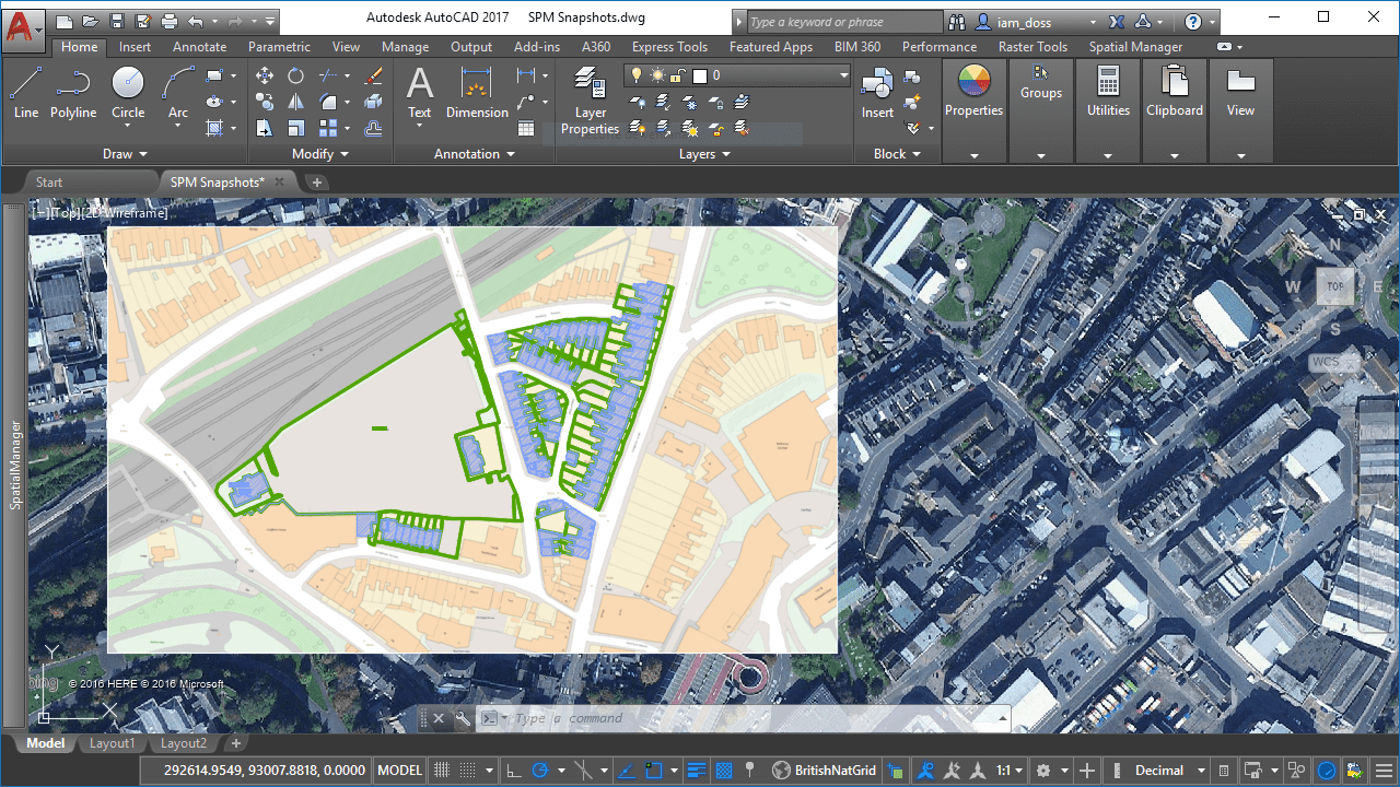
Snapshots allows for example merging different types of Background Maps in a drawing
The dynamic ‘Background Maps’ lets you choose from among many models from many map providers such as OpenStreetMap, Bing, MapBox, Esri, and others (the user can even configure new Maps sources). Now, this added functionality will allow you to get static “snapshots” as AutoCAD or BricsCAD Raster Images, well known to any user of these CAD programs
You can choose between four levels of image quality for the new Raster Image, whose choice will depend on your use of the image:
· Coarse
· Optimal
· Fine
· Very fine
Clearly, you will find many other good application cases for this functionality, but take a look at these:
1.- Merging different types of ‘Background Maps’ in a drawing
2.- Printing or Publishing without some limitations that you can find when using dynamic ‘Background Maps’
3.- Sharing your drawings with colleagues who do not have ‘Spatial Manager’, what prevents them from using dynamic ‘Background Maps’
Note: The “Background Maps” functionality is available in the “Standard” and “Professional” editions only


