‘Spatial Manager’ (for AutoCAD, BricsCAD or ZWCAD) includes some little-known automations that make the everyday application tasks more comfortable. This article and the included videos review some of these little automatic assistances
Related videos: AutoCAD / BricsCAD / ZWCAD
Little automation helps – Spatial Manager
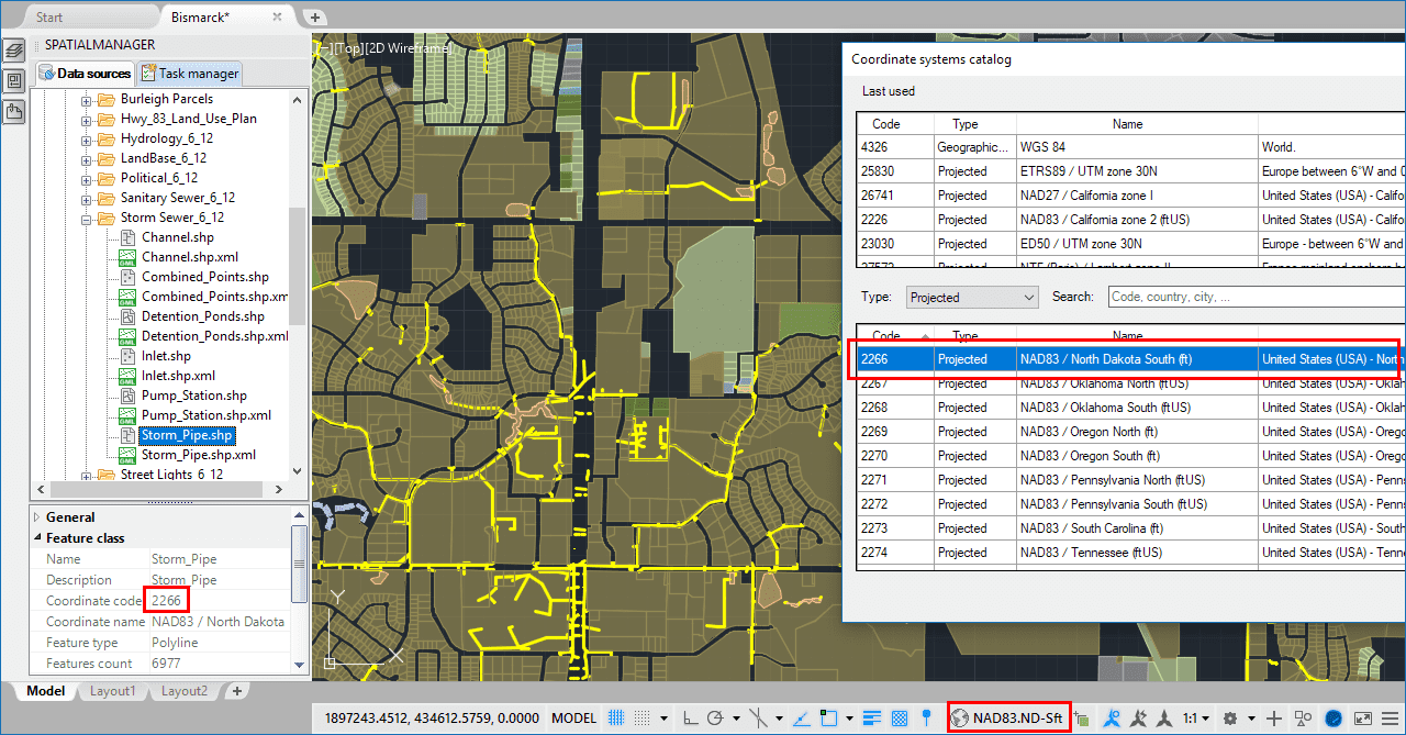
- Automatic assignment of the Coordinate System (CRS) to an unreferenced (no CRS assigned) drawing when importing from a source whose CRS is known. This simplifies the (likely) assignment of a CRS from the origin to the target
- If the drawing is empty, the import processes Zoom to the imported objects. So that you can easily locate them
- Automatic assignment of a projected Pseudo-Mercator CRS to the drawing when importing into an unreferenced drawing from Google Earth, OpenStreetMap, GPX and others. These formats use a geographic CRS to store the spatial information, and the users are usually interested in getting projected spatial information into the drawings. This automation can be deactivated (read the next paragraph)
- In addition, in the previous import scenario, the “Transform Coordinates” option is also automatically activated. You can uncheck this option in the Importing Wizard. In this case, the automations #3 and #4 would be not effective but the automation #1 would be applied
- If the drawing is empty and unreferenced, when ‘SPMBGMAPSHOW’ is executed the application will assign the Background Map CRS to the drawing
- Automatic activation of the “Transform Coordinates” option while importing, if the drawing has any assigned CRS and the source has the CRS defined (or the user defines it while importing)
- Automatic mapping of appropriate data column names as X Y Z Coordinates when importing from user ASCII files. Many names, such as X, Lat, Longitude, H, etc. are considered valid
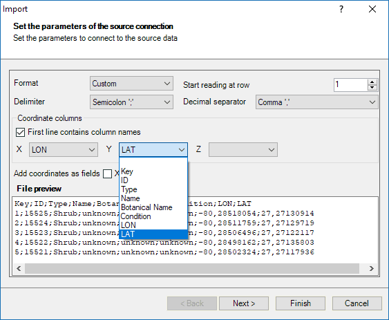
Automated XYZ columns selection
Learn more about Importing geo-spatial data in ‘Spatial Manager’:
- Blog:


