The project OpenStreetMap is considered a prominent example of volunteered geographic information and has become the “Wikipedia” of spatial and territorial information. It gives you free access to tons of geo-spatial data, and ‘Spatial Manager’ allows you to import it to Maps (Desktop) and drawings of Maps (AutoCAD and BricsCAD) in a filtered and controlled way
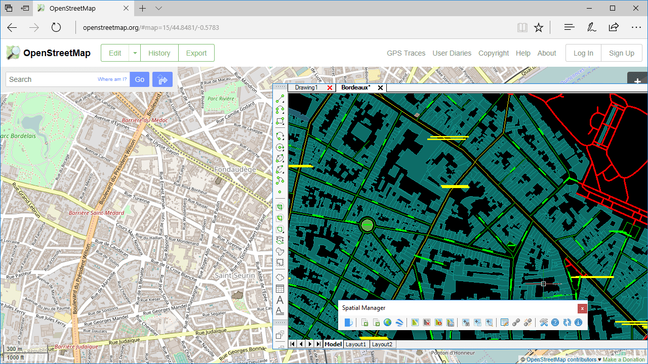
Importing from OpenStreetMap in order to create or add information to maps
Related videos: AutoCAD / BricsCAD / Desktop
As you well know, uncontrolled power does not provide good results in any discipline. The valuable OpenStreetMap information can become a pile of useless data if you are not able to specify what you want to and how you want it
Besides the query possibilities available in the data source where you are exporting the OSM or PBF files, for example layer filtering in ‘OpenStreetMap.org’ website, the ‘OpenStreetMap’ data provider in ‘Spatial Manager’ includes a set of little-know parameters that allows you to greatly enhance the data that you can extract from any OSM or PBF file
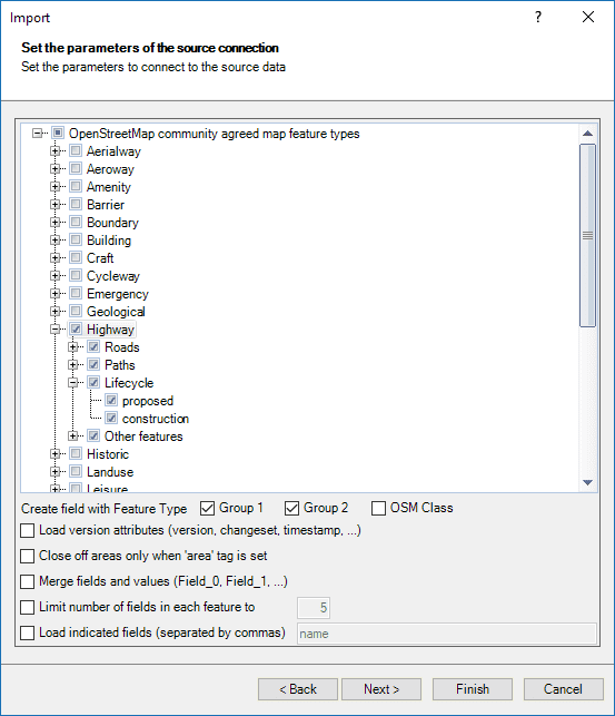
OpenStreeMap import parameters (Spatial Manager data provider)
- When using this option you can easily separate or discriminate layers of data or generate thematic maps quickly
- First, you can set the limit number of data fields for every element. Only the first specified data fields will be imported
- Alternatively, but not both, you can apply the option to define the names of the fields that must be imported
On a few entries in this Blog you can learn more about how to take advantage of the OpenStreetMap information (vector features or image maps) when using ‘Spatial Manager’


