Within this interesting example we show how to include, on an existing AutoCAD or BricsCAD drawing of a city, locations from a list of addresses as points (Blocks) on the drawing, using Google Maps APIs for geo-location_
Videos: AutoCAD / BricsCAD
The process is also supported by a small application developed using VBA in Excel and applying these APIs to get the Latitude and Longitude from the list of addresses. The process works as follows:
- Excel
- In the first three columns the user can enter the name of the Street, the house Numbering (if any) and the name of the City
- The next column is automatically calculated by concatenation of the data in the previous columns. The result is passed as a parameter to the next column in which, using the “GoogleGeocode” function defined in the VBA application, Google Maps APIs returns the full address values and the Latitude and Longitude of the mailing address
- In the last two columns the corresponding Latitude and Longitude values are extracted, using the “GetPartOf” also defined in the VBA application
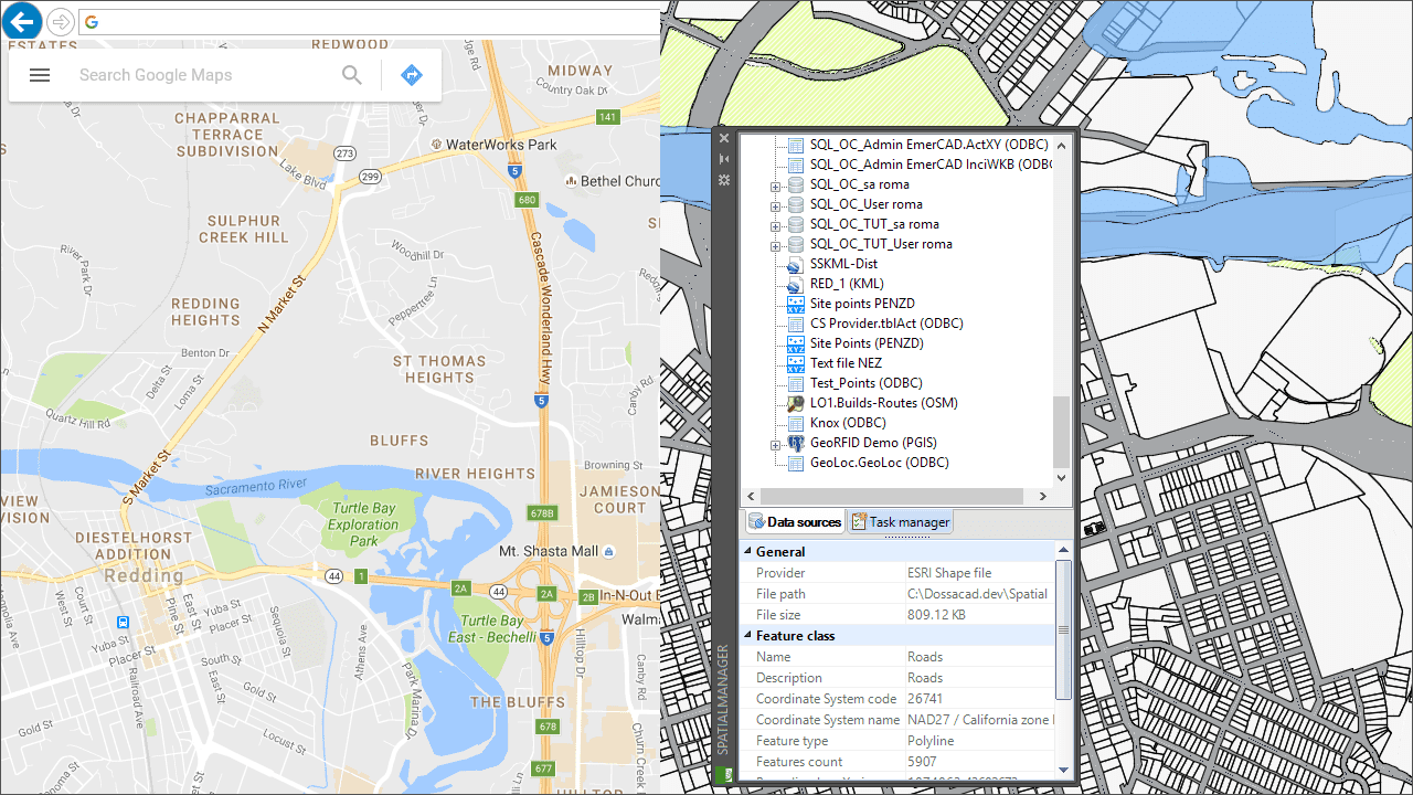
- Data source
- We define a Windows ODBC source for this Excel worksheet and we create a ‘Spatial Manager™’ User Data Source (UDS) for this ODBC source
- AutoCAD or BricsCAD: Points import for the addresses
- Over a drawing of the city which has been used as our example in the addresses Excel worksheet, we import the points from the UDS created using AutoCAD or BricsCAD Block References
- Notes
- The number of addresses to calculate it is unlimited because you just need to copy and paste any row in the Excel worksheet
- As you can see in the video, the addresses can be extended on the same Excel worksheet to different cities or even to different countries (just add the name of the country separated by a comma after the name of the city)
- The accuracy of the geo-location returned by Google Maps APIs will obviously be greater as the data entered is more accurate


