When importing or loading points from spatial ASCII files (CSV, XYZ etc.), Spatial Manager™, like most applications which support these kinds of spatial data sources, includes only usual connection parameters
In the best case, the data provider for ASCII files allows you to read the Point number, its XYZ coordinates and its Description:
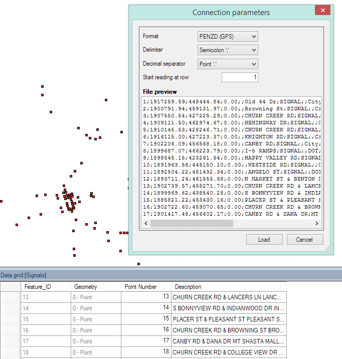
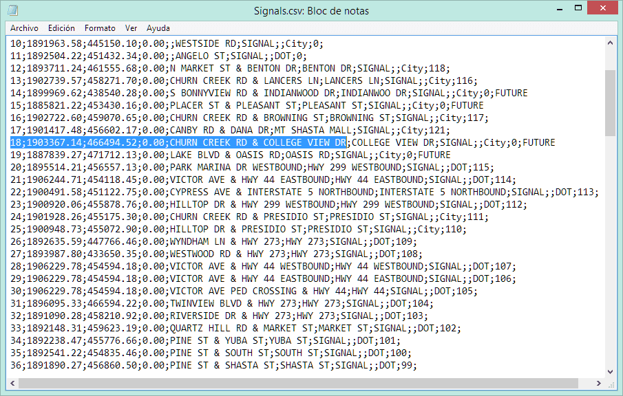
But, what happens if the ASCII file includes more data fields for the points, as shown in the following image? How can you include this data in loading, importing or exporting processes using Spatial Manager™ applications?
A good choice is to use the ODBC data provider, which allows you access to standard Windows connections for MS Excel workbooks, MS Access databases and many other spatial data containers. An example of a typical process can be summarized in the following steps:
1 – Import (open) the ASCII file using MS Excel
2 – Add a header row and fill in the field names
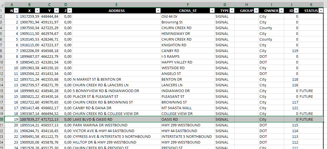
3 – Define a name inside the MS Excel workbook for the full range of the data cells and the header row
4 – Define an ODBC connection in Windows for the MS Excel workbook
5 – Define a User Data Source (UDS) using the Spatial Manager™ ODBC Data Provider. The User Data Source (UDS) can be now used in Spatial Manager™ to perform any process in which the entire data table will be included
To find out more about the processes which use the ODBC Data Provider, please see this post in the Blog: “How to access ODBC connections”


