Although ‘Publishing to Google Earth’ from a drawing (AutoCAD, BricsCAD or ZWCAD) is one of the most popular features among the ‘Spatial Manager’ users, very few are aware of the possibility of including attached images in the drawing as part of the elements to be published
Related videos: AutoCAD / BricsCAD / ZWCAD
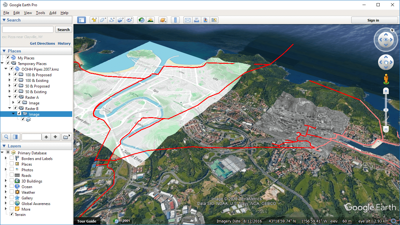
Exporting Images from CAD drawings to Google Earth
¿A surprise? Please, take a look at the above videos to see how to Export drawing including Raster Images to Google Earth
Please note that when executing the SPMCREATEKML command (Publishing to GE) you can choose to save the ‘Google Earth’ file using either the KML extension or KMZ. In the first case, the images for ‘Google Earth’ will be saved in the same location as the KML file. When you choose to save as KMZ (it is actually a ZIP file), the images are “packed” into the same file along with the rest of the vector elements information, texts, etc.
Learn more about Exporting or Publishing to Google Earth from your drawings:


