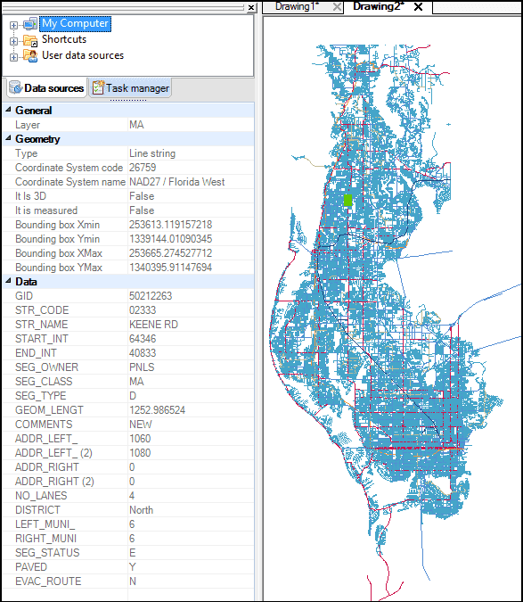
This time we are sharing an article published on the blog “Taking the Challenge Out of Field Data Collection“, which develops a complete analysis about how Spatial Manager™ provides users with everything they need to add geospatial functionality to CAD
The author of the blog is Lance Maidlow, P. Eng., M. Eng., and President of ChasmTech
Lance’s experience spans 30 years with firms including Autodesk (Local Government Industry Manager), Open Spatial USA (Director), Kanotech Information Systems (President) and Associated Engineering (Dept Head Water Resources). As an early Autodesk developer Kanotech was years ahead of the industry in developing spatial databases with products like GeoSQL. Portions of this technology were licensed to Autodesk and incorporated into AutoCAD Map. Over the course of his career, Lance has delivered his consulting expertise in the areas of utilities (water, sewer, electric, and cable), oil and gas, transportation and public safety
Most recently, he provided advice and hands on support in the integration of the customer information system, work order management system, lab system with spatial information store in Oracle to provide a horizontal view of a major utilities enterprise data. The design allowed for desktop, mobile and ulitmately digital pen technology into the architecture
Lance brings a focus on practicality to ChasmTech’s solutions and makes sure that our unique combination of technology and services custom fits each customer
Please, read the Lance’s conclusions: