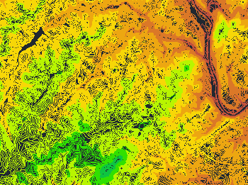
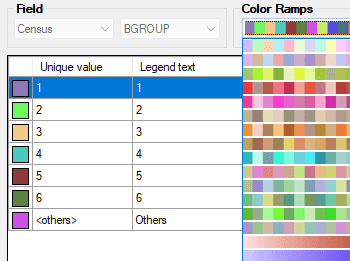
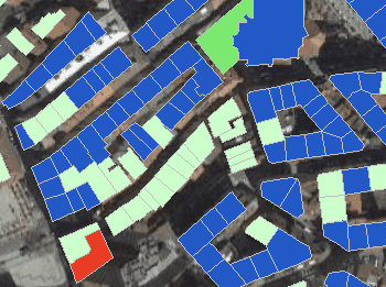
Different types of thematics can be created by fixed field values (categorized) or by ranges (graduated)
Select one among the predefined color styles, modify it, or create your own custom one. Fill closed objects automatically for an enhanced visualization
Thematic maps are created automatically based on field values. Use existing fixed values or ranges to set the thematic type
Visualization styles
Create your custom set of rules or select a predefined style. Most common color schemes and gradient ramps are built in
Visualize objects by coloring them based on their field values. Different thematic styles can be applied, using either fixed field values (categorized) or value ranges (graduated). Choose from predefined color... more
Export texts or labels from a DWG to Google Earth directly maintaining the layer and object colours. It is a very intuitive one-step process of publishing stylized geometries grouped by... more
‘Spatial Manager’ includes many import options to get cartographic and spatial data organized, structured, labeled, filtered and customized from various sources. This post analyses the options for separating by layers... more
‘Spatial Manager’ (AutoCAD/BricsCAD/ZWCAD) provides a wide range of tools that allow you to stylize the imported graphic objects in order to quickly identify different events or conditions using different colors,... more