SPM for GstarCAD > Features > Perpetual license > Standalone and Network

Standalone and Network in GstarCAD

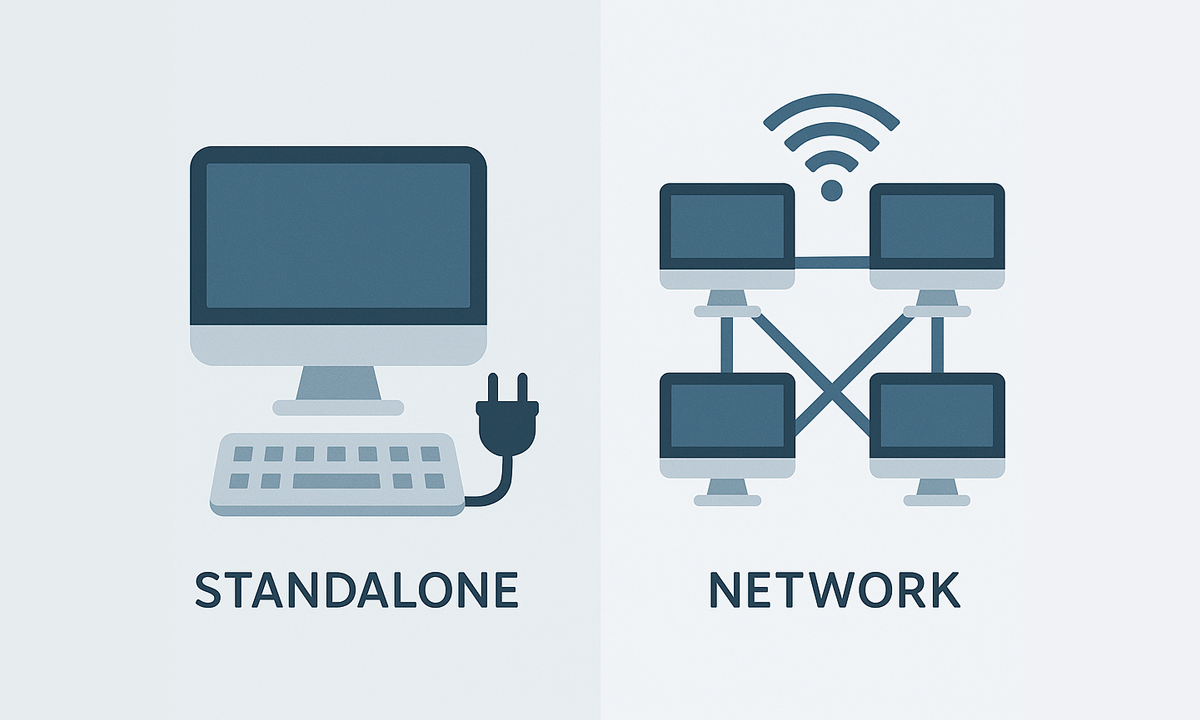
Standalone licenses for Spatial Manager™ for GstarCAD can be used simultaneously on as many computers as seats purchased, while network licenses allow installation on up to 3× the seats but simultaneous use only up to the number of seats

Editions: Basic Standard Professional

Standalone and Network

  • Standalone licenses can be activated on as many computers as the Number of seats purchased, and can be used simultaneously on any of those computers.
  • Network licenses can be activated on a maximum of computers equal to 3 times the Number of seats purchased (for example, up to 9 computers for a Number of 3 seats), and can be used simultaneously on the Number of seats purchased (in the example above, up to 3 computers). Network licenses use a floating license system in the cloud and require permanent Internet access.
frequently asked questions
Current compatible GstarCAD applications:
  • Versions: From v.2018 to v.2026 both included. Review the version compatibility page for more details.
  • Editions: Standard, Professional and Educational
System requirements:
  • Windows 7 or higher, within the operating system versions supported by the GstarCAD version used
  • 500 MB free disk space, or more
  • Windows Installer 3.1 or later
Spatial files
  • Esri Shape file - (SHP)
  • Google Earth file - (KML, KMZ)
  • OpenStreetMap file - (OSM, PBF, OSC) (1)
  • LiDAR file - (LAS, LAZ)
  • GPS exchange format file - (GPX)
  • Esri ASCII Grid file - (ASC, ASCII) (1)
  • ASCII text file - (ASC, CSV, NEZ, TXT, XYZ, UPT)
  • SQLite file - (SQLITE, DB)
  • GeoPackage file - (GPKG)
  • GML file - (GML, GZ, XML)
  • Raster image file - (TIF, PNG, JPG, JPEG, TIFF) (1)
  • Autodesk SDF file - (SDF) (3)
  • MicroStation v.7 file - (DGN) (2)
  • AutoCAD DXF file - (DXF) (2)
  • Esri ArcInfo export file (ASCII) - (E00) (1) (2)
  • MapInfo file - (TAB) (2)
  • MapInfo interchange format file - (MIF/MID) (2)
  • GeoJSON file - (GEO.JSON)

Spatial raster files
  • Raster image file - (TIF, PNG, JPG, JPEG, TIFF) (1)
    • Georeference sources - (World files, Google Earth .GEPRINT, etc.)
  • Variable resolution Raster image file - (Cloud Optimized GeoTIFF/COG TIFF) (1) (4)

Spatial data servers and Geo-databases
  • Esri Geodatabase File - (GDB) (1)
  • PostGIS database
  • Microsoft SQL Server Spatial database
  • MySQL database (1) (3)

Image map servers
  • WMS/OGC API Maps Web Map Services (4)
  • WMTS/OGC API Tiles Web Map Tile Services (4)
  • XYZ/TMS Tile Map Services (4)

Other spatial data sources
  • Open Database Connectivity ODBC (1)
  • WFS/OGC API Features data store (1)
  • WFS data store (FDO) (1) (3) (5)
  • WFS data store (OGR) (1) (2) (5)

(1) Read-only
(2) OGR data source
(3) FDO provider (May not be available on GstarCAD 32-bit)
(4) Background Maps technology
(5) DEPRECATED - Whenever possible use the native WFS/OGC API Features data provider

Note: certain data Providers are only valid for some Editions of the application