Optimized export in GstarCAD
Export with precision and flexibility, including direct format conversion
Discover the full potential of this set of tools designed to enhance GIS data integration and editing within GstarCAD.
Automatic complex geometric operations
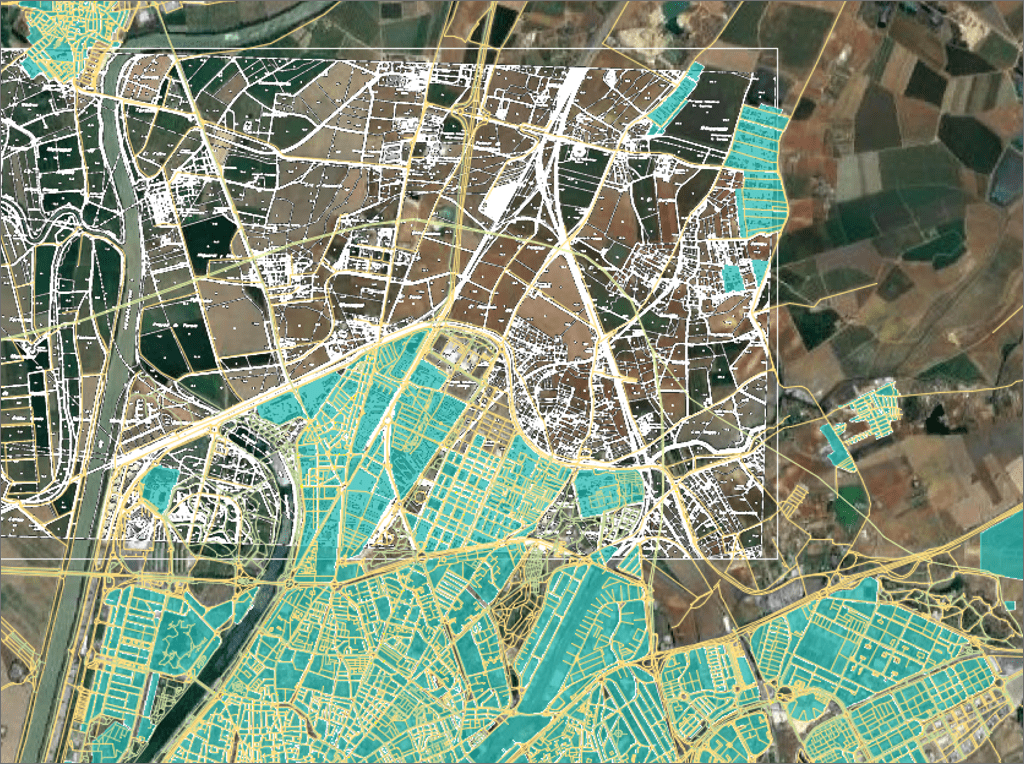
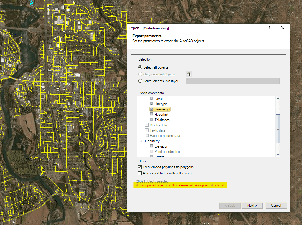
Filtering of incompatible objects
Opening help
Geospatial direct Exporting
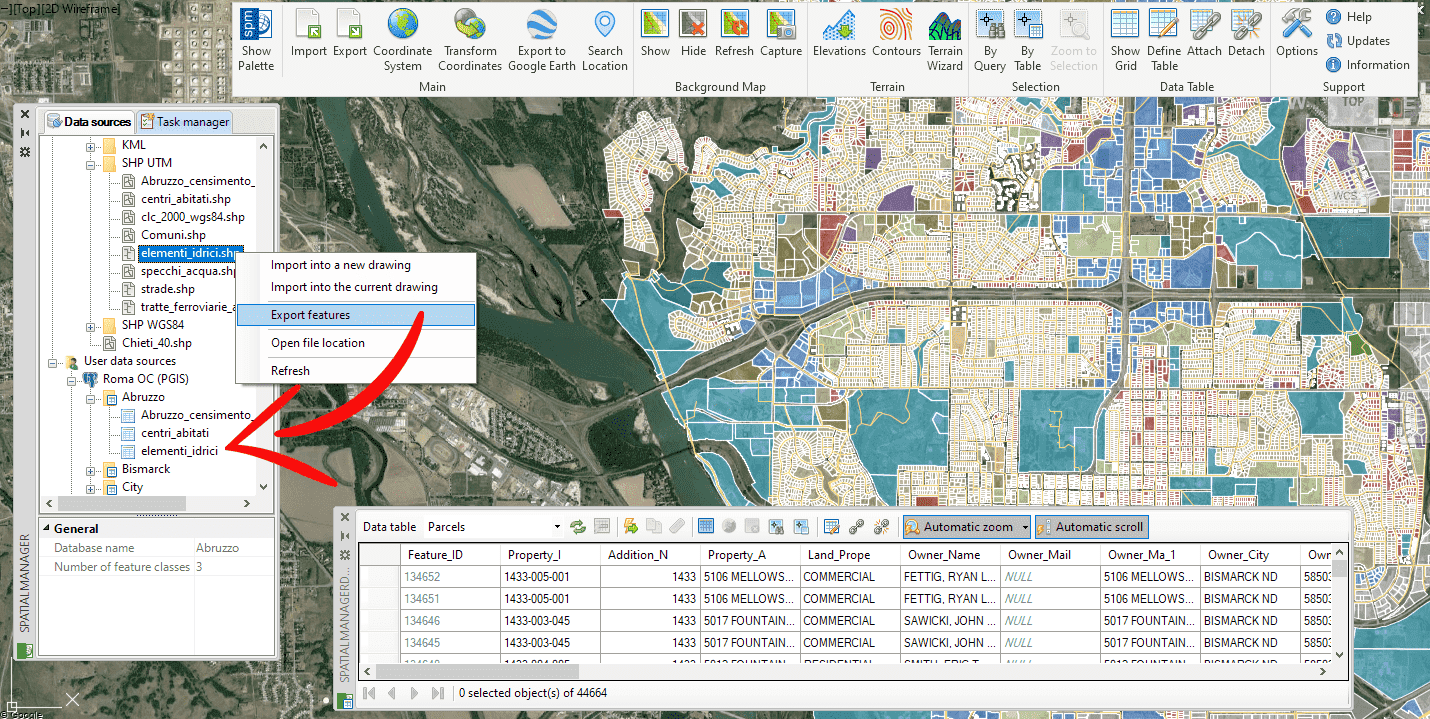
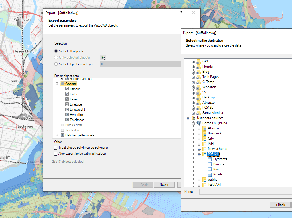
Export selected objects as polygons, features, or full drawings to geospatial destinations
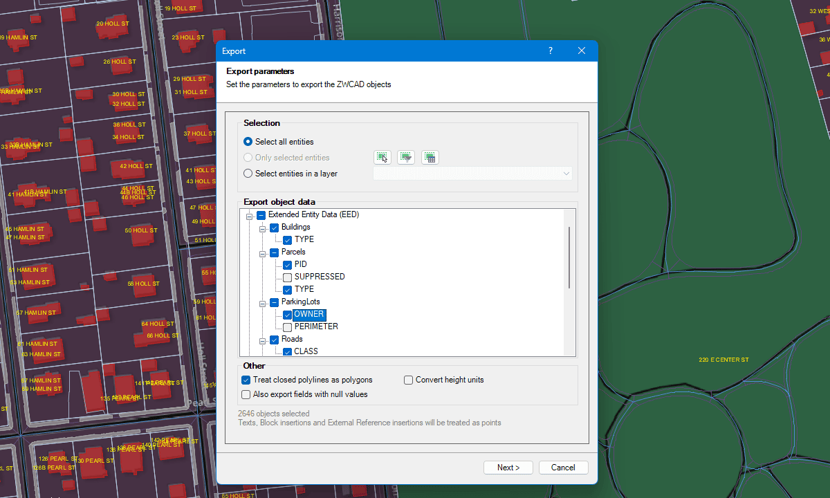
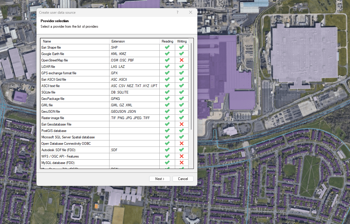
Export to spatial files and databases
Enhanced in V10Export GstarCAD objects to geospatial files or servers

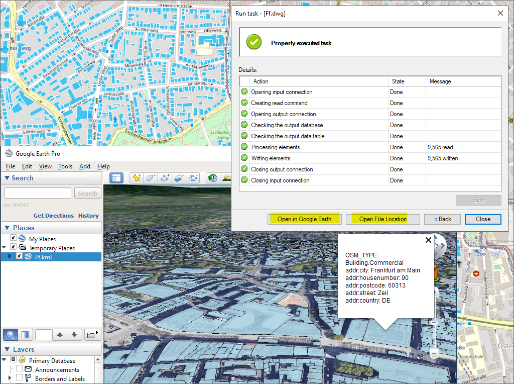
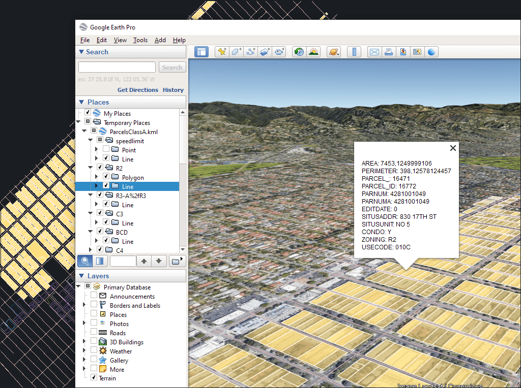
Easily convert your DWG/DXF files to KML/KMZ for Google Earth quickly and accurately. You can export the entire drawing or only a selection of specific objects, preserving the structure, layers,... more

Google Earth internally uses meters for elevation units, which can be an obstacle when feet are required. This tutorial explains an easy workaround for viewing contour elevation values in Google... more

An ESRI Geodatabase File (FileGDB) is a powerful database system designed to store, query, and manage spatial data as a collection of files stored directly on disk without requiring a... more

Height units remain unchanged when coordinate conversions are applied, but sometimes you need to change them, especially when the target format is limited to a specific unit. This happens with... more