")
Resources and Information
")
From the current drawing to new or existing tables in files or schemas inside files or databases
")
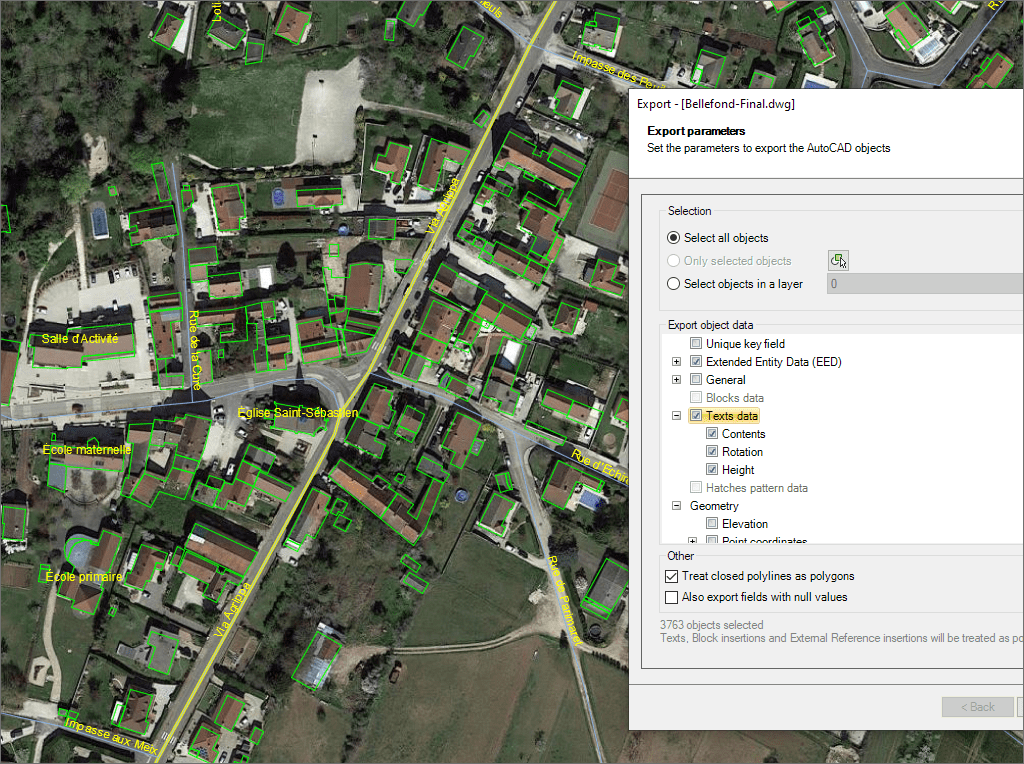
Choose between exporting the selected objects, the objects in a layer or the whole drawing
")
You can export BricsCAD Civil Points including their object data such as name, point number, raw description, full description or point group
")
Most of the time the closed polylines represent polygonal elements on the target data format and this conversion can be automatic
")
Export the coordinates X/Y/Z, the Length, the Area and the Elevation in new fields of the data tables
")
The Z-coordinate is exported in all the cases. If not available, the object Elevation is exported as Z-coordinate
")
Option to export the Name, Rotation, Scales and the Attributes of the Block references in new fields of the data tables. The names of the fields and the Attributes will match
")
Review and editing of the selected objects in order to export geometries accommodated in the target format, such as the polygonal segmentation on curves if required
")
There are a few object types not supported by the export processes (such as complex 3D objects), which are automatically filtered. The filter result is displayed before exporting
")
Upon completion of any export process to a file, the file location can be opened directly. When exporting to a KML or KMZ file it can be chosen to open the file in Google Earth (if installed)
")
This function allows direct conversion between different data providers formats and sources without the need to import/export into/from drawing

Google Earth internally works with meters as elevation units and this can be an obstacle when feet are the desired measurement units. This tutorial explains an easy workaround for viewing... more

An ESRI Geodatabase File (FileGDB), is a powerful database system designed to store, query, and manage spatial data as a collection of files stored directly on disk without the requirement... more

Height units remain unchanged when coordinate conversions are applied, but sometimes it is required to change them, especially when the target format is limited to a specific unit, this happens... more

3D modeled objects are exported to Google Earth (KML/KMZ) in a very easy and intuitive way. Different altitude and height modes are available depending on how the model has been... more