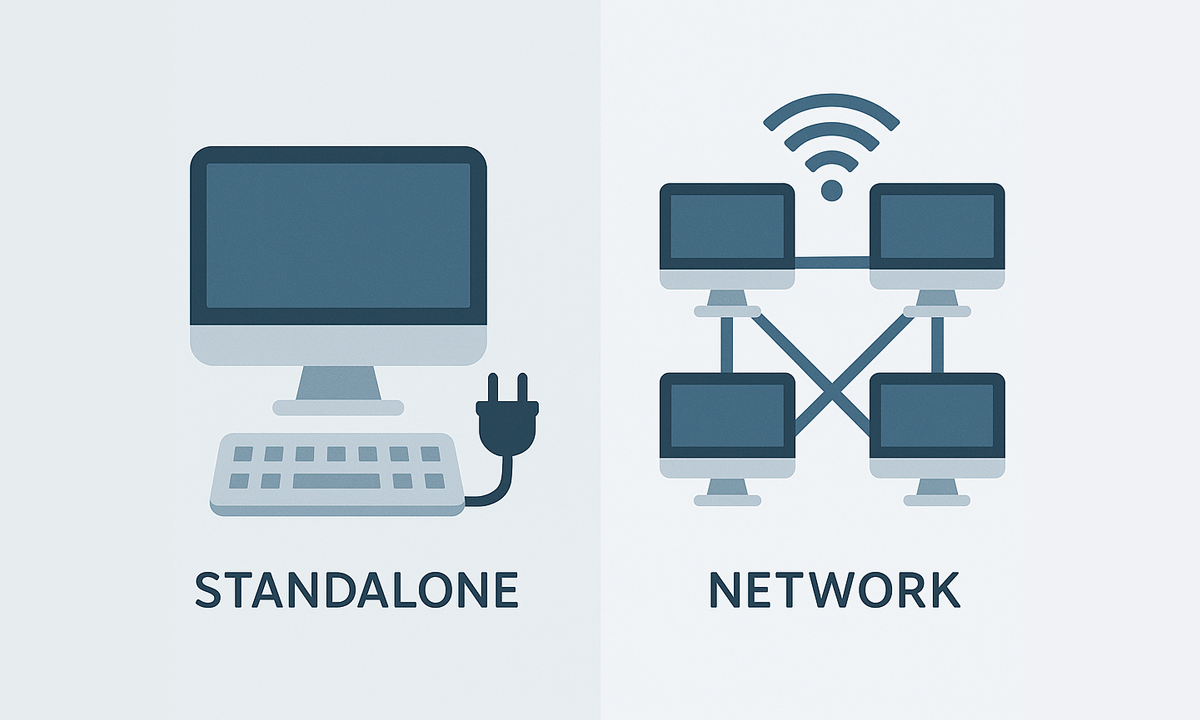
Standalone and Network
- Standalone licenses can be activated on as many computers as the Number of seats purchased, and can be used simultaneously on any of those computers.
- Network licenses can be activated on a maximum of computers equal to 3 times the Number of seats purchased (for example, up to 9 computers for a Number of 3 seats), and can be used simultaneously on the Number of seats purchased (in the example above, up to 3 computers). Network licenses use a floating license system in the cloud and require permanent Internet access.


