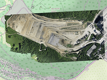
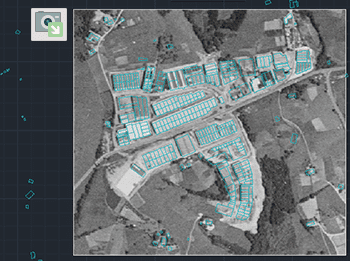
Import of georeferenced raster images into the drawing. Supports a variety of formats such as TIF, PNG, JPG, JPEG, TIFF, Cloud Optimized GeoTIFF, ... (Data Providers list).
Export of georeferenced raster images from the drawing. Supports a wide variety of georeferenced formats such as TIF, PNG, JPG, ...(Data Providers list).
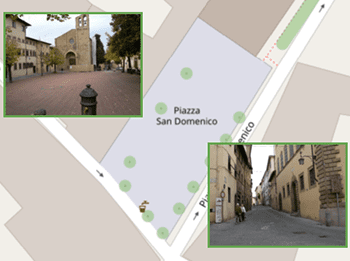
Import of photographs with GPS location (contained in their EXIF data), captured at the moment they are taken and automatically placed in their correct location in the drawing when importing
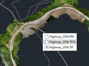
Export to external file the complete geo-reference information of any raster image contained in your drawing


