Discover the full potential of this set of tools designed to enhance GIS data integration and editing within AutoCAD.
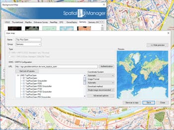
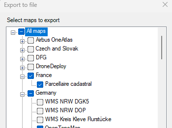
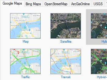
Configure new Groups and new Maps by entering a minimum of data. There are also tools to edit the Maps configuration data or delete them from the list as well as export/import customized map definitions to be shared with other users.
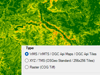
Connect to your local map provider and access to most common data source types:
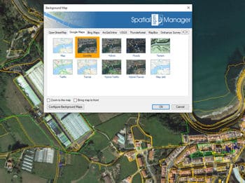
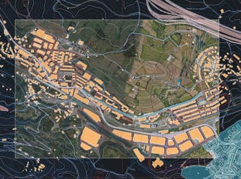
With Spatial Manager™, you can load multiple maps from different sources and compound an advanced view. Arrange their display priority, and control their visibility independently—making it easier than ever to... more
Mapflow is a cutting-edge geospatial intelligence platform leveraging artificial intelligence to automatically identify and classify geographic objects—such as buildings, roads, and forested areas—within satellite and aerial imagery.... more
The Farm Service Agency of the U.S. Department of Agriculture (USDA) provides some web services for accessing the National Agriculture Imagery Program (NAIP). Spatial Manager products provide an easy way... more
The Street View palette in ‘Spatial Manager’ (CAD versions) allows you to visualize dynamic Google Street View images directly in your CAD application by selecting a point on any geo-referenced... more