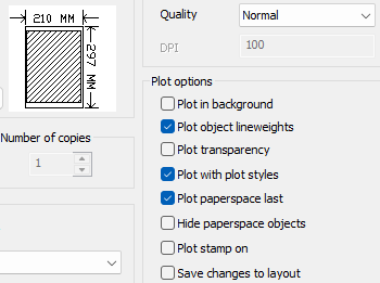
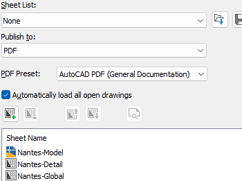
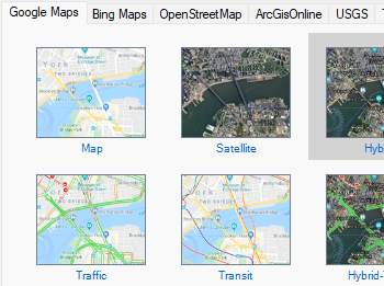
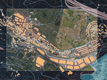
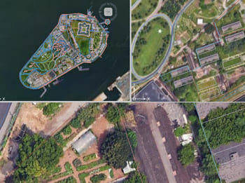
Easily include the selected background map as part of your final printed or exported drawings, preserving the geographic context in hard copies or digital files. You can also publish multiple layouts at once, with the active background map updated automatically in each viewport.
Discover the full potential of this set of tools designed to enhance GIS data integration and editing within AutoCAD.
Allows you to include the selected background map as part of your final printed or exported drawings. This ensures that the geographic context provided by the map is preserved in hard copies or digital exports.
Plot multiple layouts at one step, the active background map view will be updated to each viewport.
Mapflow is a cutting-edge geospatial intelligence platform leveraging artificial intelligence to automatically identify and classify geographic objects—such as buildings, roads, and forested areas—within satellite and aerial imagery.... more
The Farm Service Agency of the U.S. Department of Agriculture (USDA) provides some web services for accessing the National Agriculture Imagery Program (NAIP). Spatial Manager products provide an easy way... more
The Street View palette in ‘Spatial Manager’ (CAD versions) allows you to visualize dynamic Google Street View images directly in your CAD application by selecting a point on any geo-referenced... more
In this post we will review the tools provided by ‘Spatial Manager’ for accessing geographic dataset services, both imagery and vector. This example will use some of the datasets provided... more