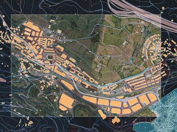
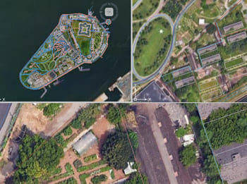
Discover the full potential of this set of tools designed to enhance GIS data integration and editing within AutoCAD.
Google Maps
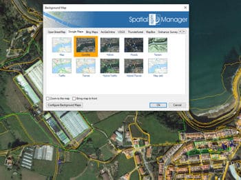
Google Maps can be used as background maps in your drawings to enhance spatial context and visualization. You can easily select different Google Maps layers (such as Roads, Satellite, or Terrain) and display them in AutoCAD. These maps help in referencing real-world locations, aligning objects geographically, or preparing georeferenced designs.
Bing Maps
Bing Maps offers high-quality cartographic and aerial imagery that can be used as a backdrop in your drawings. With detailed Road, Aerial, and Hybrid layers, Bing Maps enhances your workspace with accurate and visually rich geographic data.
OpenStreetMap
OpenStreetMap (OSM) provides a collaborative, open-access mapping platform that can be used as a background in your drawings. It delivers detailed street-level data contributed by a global community, making it ideal for projects that require frequently updated and highly customizable geographic information. OSM is especially valuable in areas where commercial map providers offer limited coverage.
ArcGIS
ArcGIS provides a comprehensive collection of professional-grade basemaps that can be integrated as backgrounds in your drawings. These maps include topographic, imagery, street, and terrain layers curated by Esri, offering reliable and authoritative geographic content.
USGS
USGS (United States Geological Survey) provides high-resolution topographic and geological maps that can be used as background layers in technical and spatial projects. These maps are especially valuable for environmental analysis, terrain modeling, and land use planning, offering detailed elevation data, hydrography, and land cover information.
Azure Maps
New in V10Azure Maps is Microsoft’s modern geospatial platform, designed as the next generation of Bing Maps. Built on the Azure cloud infrastructure, it offers scalable, enterprise-grade mapping services, including road maps, satellite imagery, traffic data, ...
Others
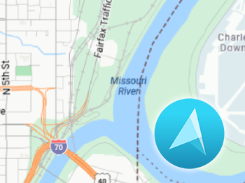
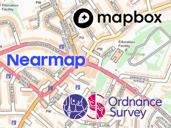
Additional background map sources such as Ordnance Survey, Mapbox, NearMap, Thunderforest, and Stadia Maps offer specialized cartographic content tailored to specific needs. Ordnance Survey provides authoritative UK geospatial data, while Mapbox delivers customizable, high-performance vector maps for web and mobile. NearMap stands out with frequently updated, high-resolution aerial imagery ideal for urban planning and asset management. Thunderforest and Stadia Maps offer themed map styles and lightweight tile services, often used in outdoor activities, cycling, and web mapping applications.
Notes
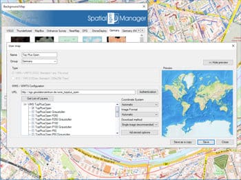
Using some background map services may require an API Key or access token provided by the map provider. These credentials are necessary to authenticate requests and ensure proper usage tracking. Additionally, users must review, accept, and comply with each provider’s terms of use, which may include limitations on commercial use, data storage, or redistribution. It is the user’s responsibility to ensure that their use of the maps aligns with the licensing conditions and technical requirements established by the respective service.
