Drag and drop spatial data to the maps
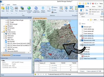
Load data tables from spatial files into the maps by dragging and dropping them from Windows explorer. This way of loading allows the loading of several files at one time. Open the files in new maps using double click in Windows explorer
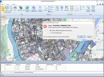
Smart search technology which makes it easy to find changed sources (moved, renamed, etc.) of external layers when loading a map
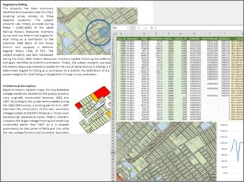
Export information to use in office or CAD apps
Advanced export data in layers, selections, etc. from the data grid. Raster or vector copy to the Windows clipboard of the whole map, the selected features or the features included in a view
Import and export processes
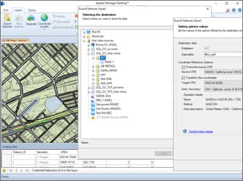
Full tables, layers or feature selections can be imported or exported from/to any spatial data container. The import/export wizard leads the user through the processes to select the source and the target and their connection parameters, the coordinate transformation parameters, etc.


