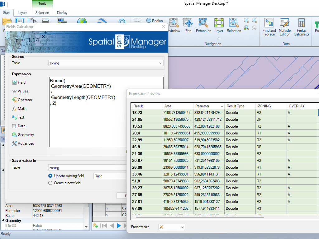
Tools to calculate and extract geometric properties such as area, perimeter, coordinates, and elevation values.
These values can be stored in new or existing attribute fields.
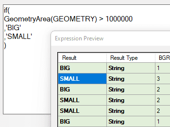
Geometric functions can also be used in conditional expressions—for example, to classify or filter features based on their size or location—enhancing spatial data analysis and organization.
Reverse geocoding is the process of converting geographic coordinates (latitude and longitude) into a human-readable address or place name. This is typically done using a reverse geocoding service or API,... more
GML (Geography Markup Language) is an XML-based language created by the Open Geospatial Consortium (OGC) for modeling, transporting, and storing geographic information. GML files classify elements by type, Spatial Manager... more
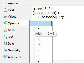
Perform calculations on new or existing field values by applying a wide range of operators and functions, such as arithmetic operations (addition, subtraction, multiplication, division), mathematical functions (square root, logarithms,... more
Direct geocoding is the process of converting an address or a place name into geographic coordinates (latitude and longitude). This is typically done using a geocoding service or API, which... more