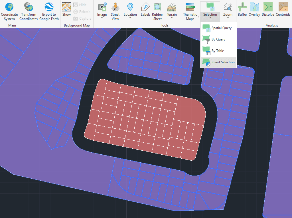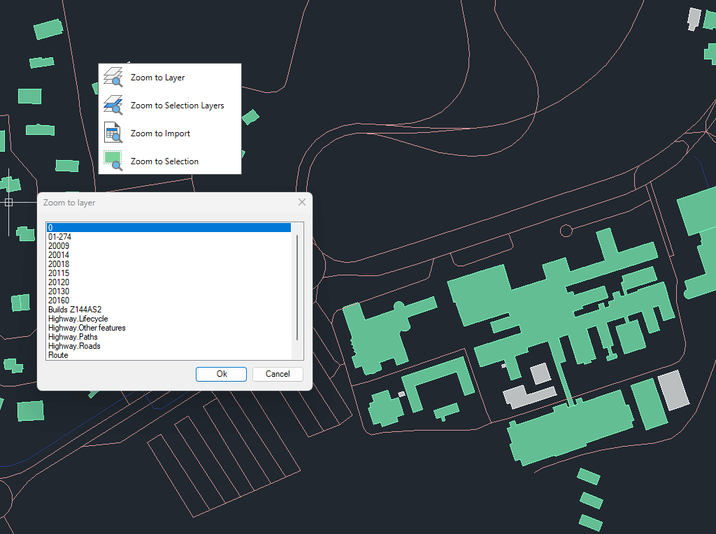
Permite um zoom rápido para melhorar a navegação e o foco nos seus desenhos.
Você pode aplicar zoom em objetos de camadas selecionadas, em objetos das camadas dos objetos atualmente selecionados, nos resultados da última importação ou diretamente nos objetos selecionados.
Essa funcionalidade ajuda a otimizar os fluxos de trabalho ao centralizar rapidamente a visualização nos dados espaciais relevantes.
Transforms complex curve geometries–including arcs, splines, circles, and polylines with arcs–into polyline objects. This conversion simplifies editing tasks and improves interoperability with both CAD and GIS workflows. It is particularly... more
Generates polygons (closed polylines) by sequentially joining the individual points that define their perimeter. Useful for rebuilding area objects from boundary point sets (parcels, enclosures, plots, etc.). Points may be... more
Reduces the number of vertices in polylines or polygons to simplify their geometry, optimizing complexity while preserving the overall shape. This function improves performance and visualization of spatial data by... more
Generates an envelope or bounding box for the selected geometries, representing the smallest rectangle that completely contains each object. This operation is commonly used to generalize shapes, define spatial extents,... more