Transformação de coordenadas
Transformações geométricas dos elementos de acordo com os processos de importação ou exportação. Sistema de Coordenadas de Referência (CRS) dos dados de origem e destino. Catálogo completo de CRSs. Lista drop-down incluindo os CRSs favoritos ou os mais recentemente utilizados
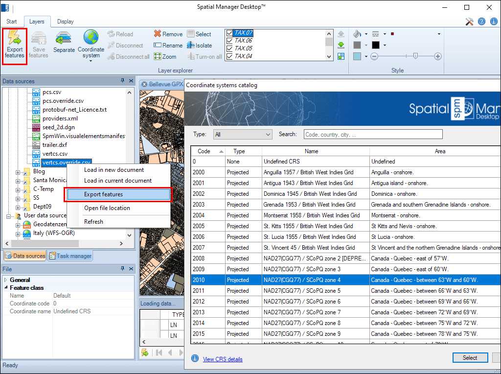
Transformação de coordenadas
Selecione o SRC de origem e destino a partir de um catálogo completo, com acesso rápido aos sistemas usados recentemente ou marcados como favoritos.
Isso garante precisão espacial ao trabalhar com dados de diferentes referências geográficas.
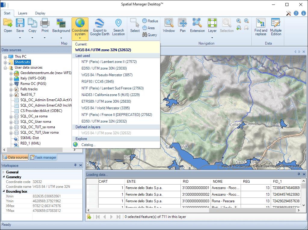
Qualquer modificação no CRS do Mapa ou em suas Camadas provoca uma atualização automática do documento. Você pode verificar graficamente a correspondência ou precisão das informações de origem no Mapa composto
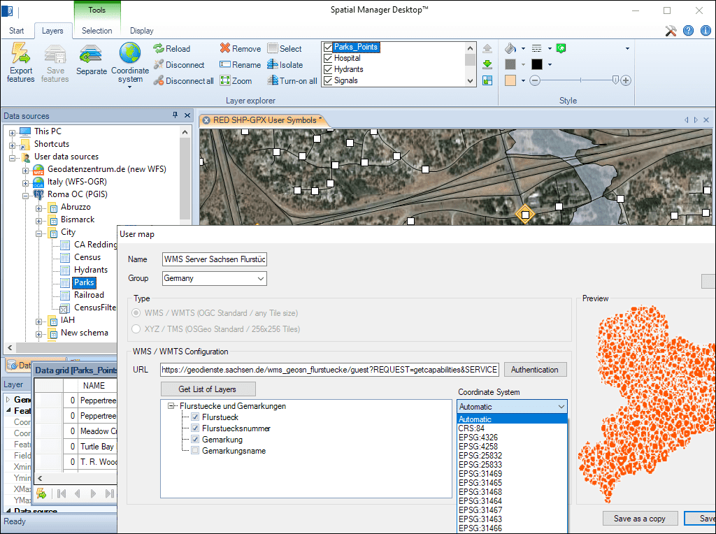
Os Mapas de Fundo também são automaticamente adaptados de acordo com seu CRS e o CRS selecionado para o Mapa de Documentos. Você pode escolher o CRS entre aqueles disponíveis para um Mapa de Fundo do usuário ou deixar o aplicativo selecionar o mais apropriado automaticamente
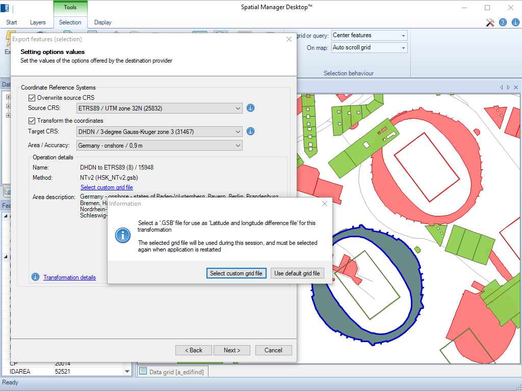
A aplicação permite carregar arquivos de grade personalizados para transformação de coordenadas NTv2 e Nadcon
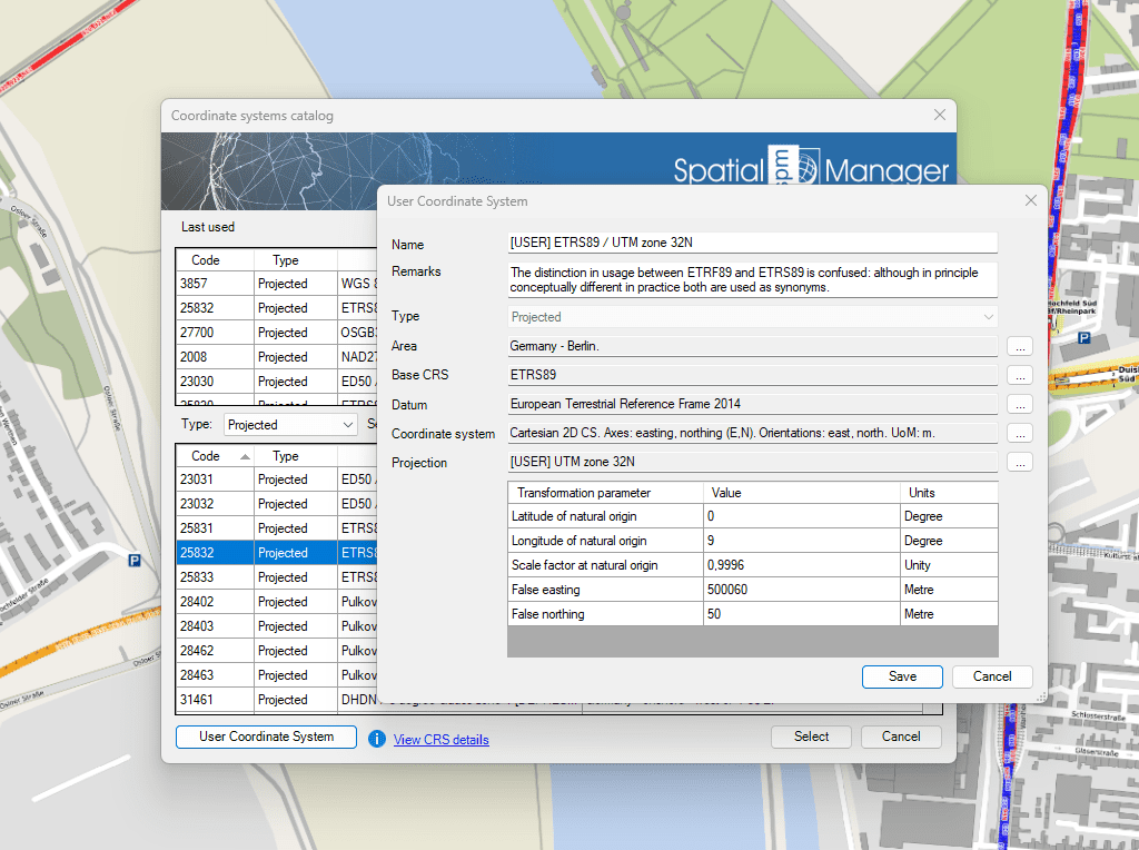
Essa função permite que você defina seus próprios sistemas de coordenadas para atender às suas necessidades específicas

Many ‘Spatial Manager’ functions (Import, Export, Background Maps, etc.) can automatically perform a process of coordinates Transformation from the source to the target as part of the sequence executed by... more

An application whose primary focus is the spatial information handling (such as ‘Spatial Manager’), must include specific functionalities related to Coordinate Reference Systems (CRSs) and Transformations of geographic data (vector... more

Over the last few days a large number of Coordinate Systems used in Western Australia have been added to the ‘Spatial Manager’ geographic databases, along with all the required geographical... more

Using base maps (roads, aerial, etc.) from imagery providers allows, not only the composition of more attractive Maps in mapping applications, but also the use of these base images as a practical... more