Mapas de fundo (estradas, satélite, híbridos)
Altere rapidamente o fundo dos mapas, escolhendo entre cores sólidos ou imagens georreferenciadas de alta qualidade como mapas de base
Mapas de fundo (estradas, satélite, híbridos)
Essa flexibilidade permite personalizar o ambiente de trabalho para melhor visualização e contexto dos seus projetos.
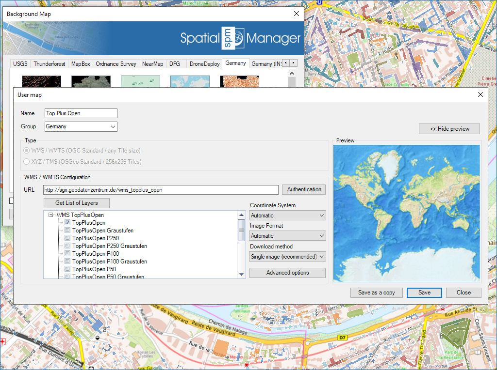
Configurar novos Grupos e novos Mapas, introduzindo um mínimo de dados. Existem também ferramentas para editar os dados de configuração dos Mapas ou removê-los da lista
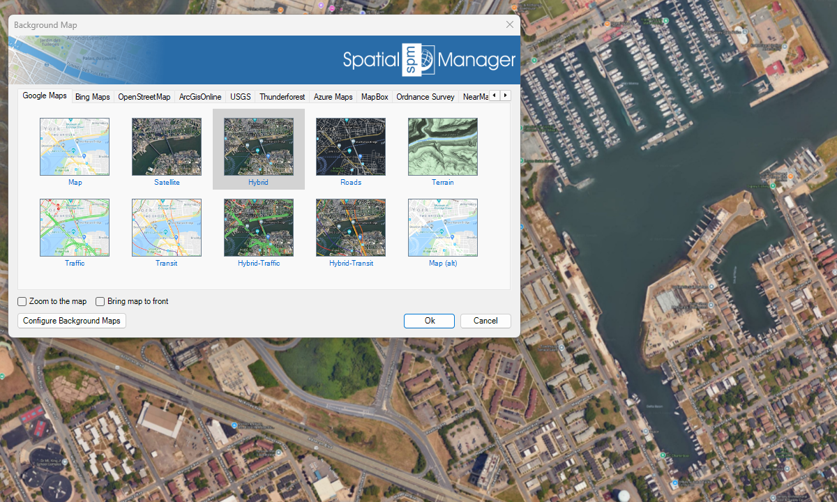
Serviços de mapas predefinidos
Melhorada em V10Acesse mapas de fundo diversificados e de alta qualidade de múltiplos provedores

Mapflow is a cutting-edge geospatial intelligence platform leveraging artificial intelligence to automatically identify and classify geographic objects–such as buildings, roads, and forested areas–within satellite and aerial imagery. Mapflow enables high-precision... more

The Farm Service Agency of the U.S. Department of Agriculture (USDA) provides web services for accessing the National Agriculture Imagery Program (NAIP). Spatial Manager products provide an easy way to... more

In this post we will review the tools provided by ‘Spatial Manager’ for accessing geographic dataset services, both imagery and vector. This example will use some of the datasets provided... more

‘Airbus OneAtlas’ service provide access to high-resolution satellite imagery, innovative geospatial analytics and industry-specific insights. This post explains how to configure ‘Spatial Manager’ Background Maps in order to dynamically access... more