Tableau de données
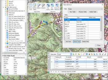
Amélioration en V10Les tables de données fournissent la structure pour associer des informations aux objets du dessin. Elles peuvent être attachées automatiquement lors de l’importation ou créées manuellement en ajoutant des champs de différents types de données.
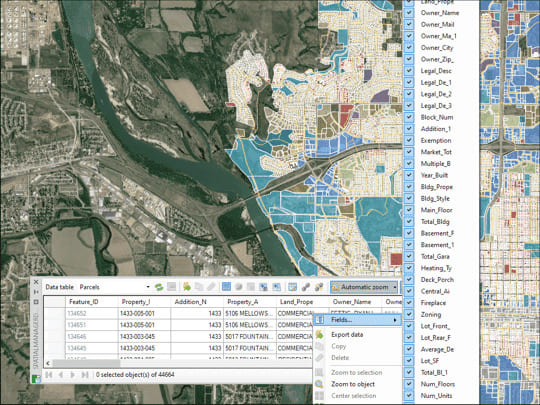
La palette de la Grille de Données dans GstarCAD vous permet de visualiser, éditer, etc. les données des objets dans n'importe quelle table du dessin. Vous pouvez également sélectionner des objets dans la Grille de Données, exporter des données à partir de tables, etc.
* Sont disponible que dans le édition Professional
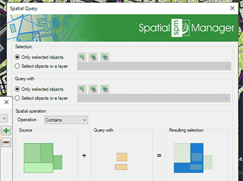
Utilisez des requêtes pour sélectionner des objets du dessin en fonction des conditions d’attributs
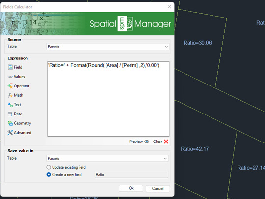
Calculez dans GstarCAD des expressions simples ou complexes à l'aide d'opérateurs et de fonctions qui peuvent être appliqués à des valeurs de champs de tables et/ou à des valeurs constantes
* Sont disponible que dans le édition Professional
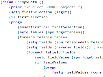
Intégrer vos propres fonctions LISP à l'aide de l'API (Application Programming Interface) pour créer des opérations personnalisées liées aux données
* Sont disponible que dans le édition Professional
