Insérer une légende dans le dessin dans AutoCAD
Nouveauté en V10Insérez une légende de carte thématique directement dans le dessin, facilitant l’interprétation et la communication de la signification des styles appliqués. La légende reflète les catégories ou plages de valeurs utilisées dans la présentation de la carte
Insérer une légende dans le dessin
La légende est générée dynamiquement et affiche les catégories ou plages de valeurs appliquées, aidant les utilisateurs à interpréter visuellement les données.
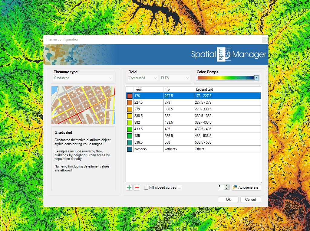
Des cartes thématiques sont automatiquement créées sur la base des valeurs des champs. Utilisez des valeurs fixes ou des gammes existantes pour définir le type de thème
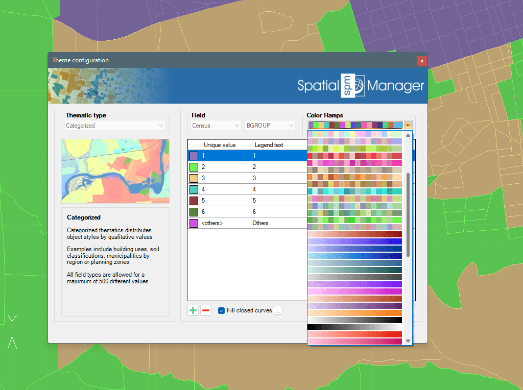
Créez votre propre ensemble de règles ou sélectionnez un style prédéfini. Les schémas de couleurs et les rampes d'accès les plus courants sont déjà intégrés
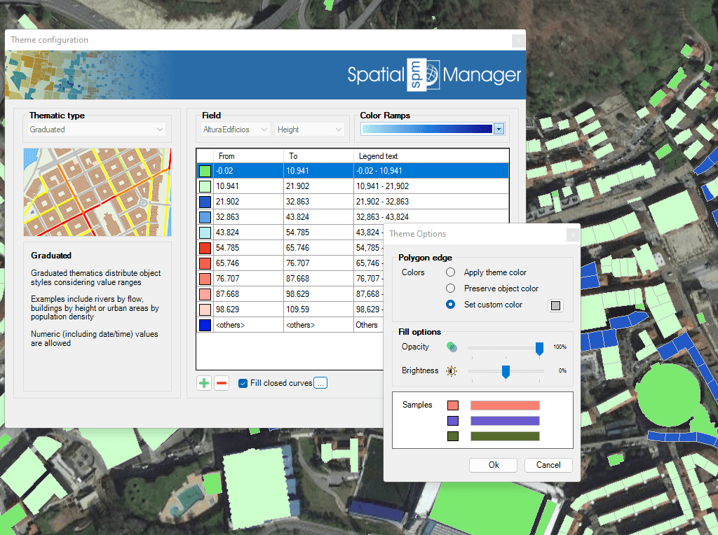
Pour améliorer la visualisation et l'identification des objets qui se chevauchent, les objets fermés peuvent être remplis avec des hachures
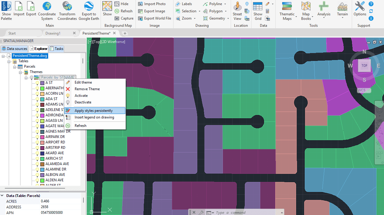
Cartes thématiques persistantes
Nouveauté en V10Une fois qu’une carte thématique est définie, vous pouvez appliquer le style choisi de manière persistante dans tout votre dessin DWG.

Inserts a thematic map legend directly into the drawing, making it easier to interpret and communicate the meaning of the applied styles. The legend represents the categories or value ranges... more

Thematic Maps allow you to view objects colored by their data values, and you can also apply these styles persistently to the objects, causing these colors to override the DWG... more

Mapflow is a cutting-edge geospatial intelligence platform leveraging artificial intelligence to automatically identify and classify geographic objects–such as buildings, roads, and forested areas–within satellite and aerial imagery. Mapflow enables high-precision... more

Visualize objects by coloring them based on their field values. Different thematic styles can be applied, using either fixed field values (categorized) or value ranges (graduated). Choose from predefined color... more