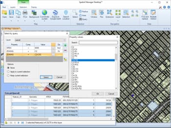
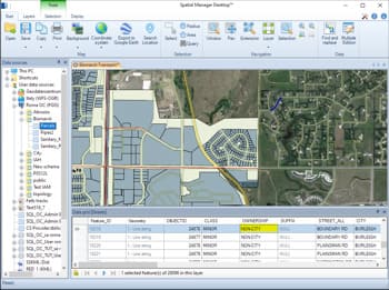
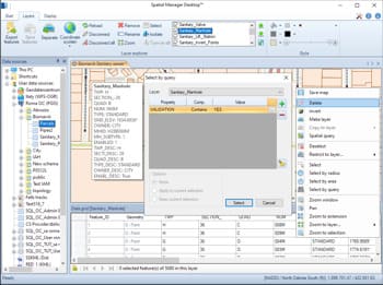
Sélections simples ou complexes par requête. Sélections dans la grille de données. Outils de navigation dans la grille de données à travers les sélections. Informations avancées pour les sélections dans la grille de données
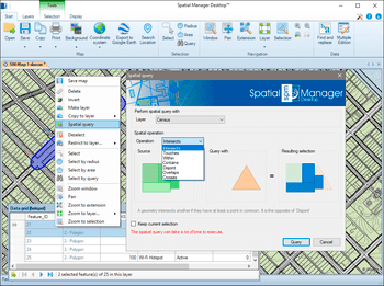
Requête des sélections en effectuant des opérations géométriques pour localiser les éléments qui interfèrent avec d'autres éléments sous certaines conditions (intersections, touches, dans, contient, disjoint, supoerpose ou croise)
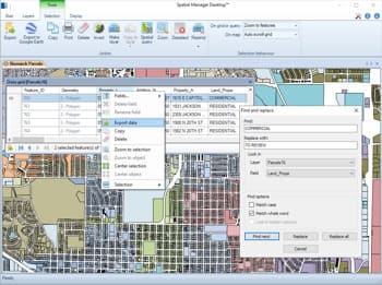
Trouver (et remplacer) des données dans la grille de données appliquée aux valeurs des champs dans les calques. La fonctionnalité "Remplacer tout" est incluse. Rapports comprenant des valeurs et des champs modifiés
Changez rapidement la valeur de n'importe quel champ des calques dans la grille de données
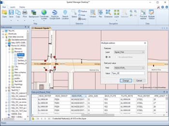
Changez la valeur des champs de la calque dans la grille de données pour plus d'un élément simultanément
Supprimez des éléments sélectionnés sur n'importe quelle calque modifiable de la carte
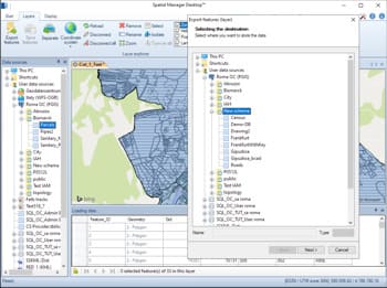
Toute calque externe peut être enregistré pour remplacer le tableau de données original. Les calques internes, tels que les calques nouveaux ou déconnectés, peuvent être exportés vers une table dans n'importe quel fichier spatial, serveur de base de données ou connexion spatiale
