Terrenos 3D en GstarCAD
Generación de modelos 3D utilizando Mallas 3D u otros objetos CAD/BIM a partir de los objetos 3D seleccionados
Proyección automática y ajuste de imágenes de cualquier Mapa de Fondo (preestablecido o configurado por el usuario) en uno o más Terrenos y en su ubicación real
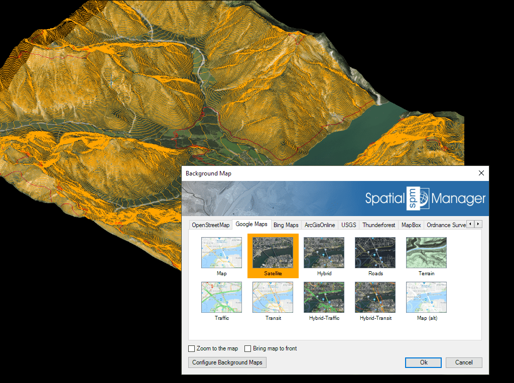
Terrenos 3D
Spatial Manager™ crea automáticamente superficies 3D que representan con precisión la topografía. Mejora estos terrenos proyectando y ajustando cualquier Mapa de Fondo — ya sea predefinido o personalizado — sobre la superficie.
El mapa se adapta a la geometría del terreno en su geolocalización real, proporcionando un modelo visualmente rico y geográficamente preciso.
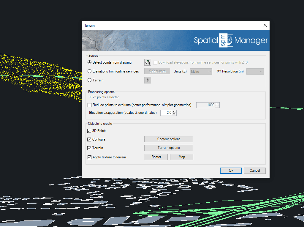
Utilice Puntos o Bloques seleccionados en el dibujo o creados a partir de proveedores de servicios de Elevación en cualquier área seleccionada. También puede usar terrenos ya generados como origen de la geometría 3D
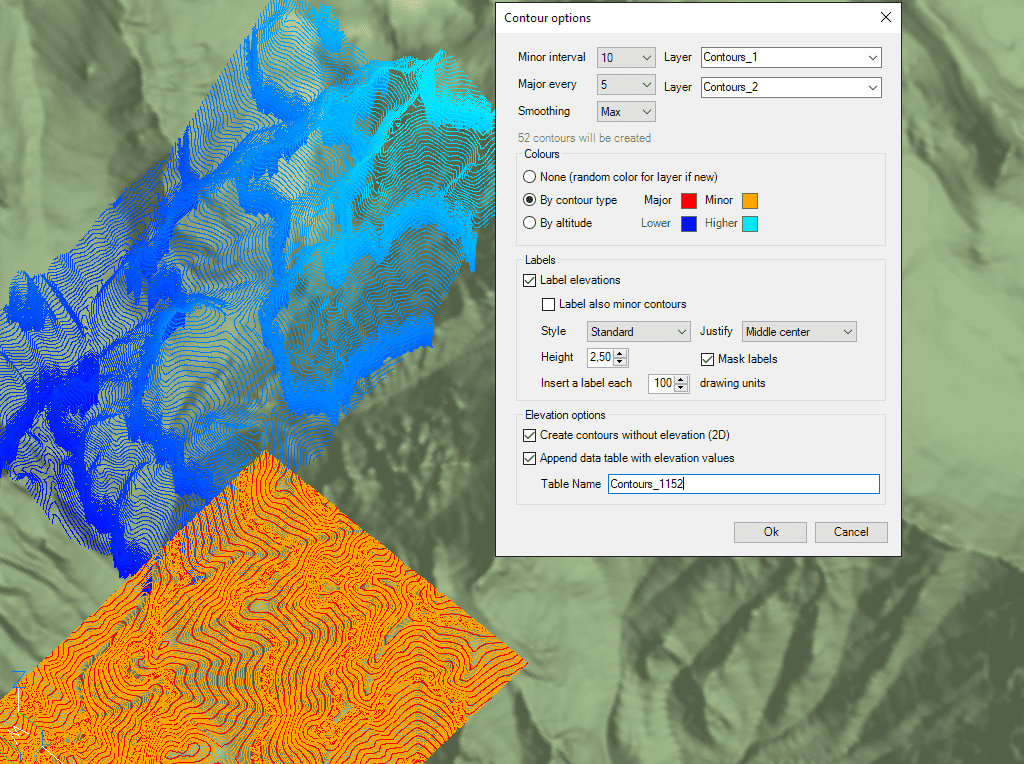
Cree Curvas de Nivel menores y principales, etiquete las alturas de las Curvas de Nivel, sepárelas en diferentes Capas y con diferentes colores. Las Tablas de Datos enlazadas y opcionales incluirán valores de elevación y tipos de las Curvas de Nivel

Spatial Manager has utilities for working with terrains and elevations. One of them lets you search elevations for existing points. By following a few steps, it is possible to create... more

Spatial Manager (CAD versions) includes the option to Insert Nodes when importing objects such as Polylines or Polygons. These nodes can be created as Points or as Block Inserts (if... more

In order to enhance the visibility of Contour Labels, ‘Spatial Manager’ (CAD versions) now includes some new options which can also be applied to the object Labels while Importing. In... more

Spatial Manager Terrain Assistant, available in the CAD versions (AutoCAD, BricsCAD and ZWCAD), provides the user with intuitive tools for processing 2D/3D Terrain information (Points, Contours, and Digital Terrain Models).... more