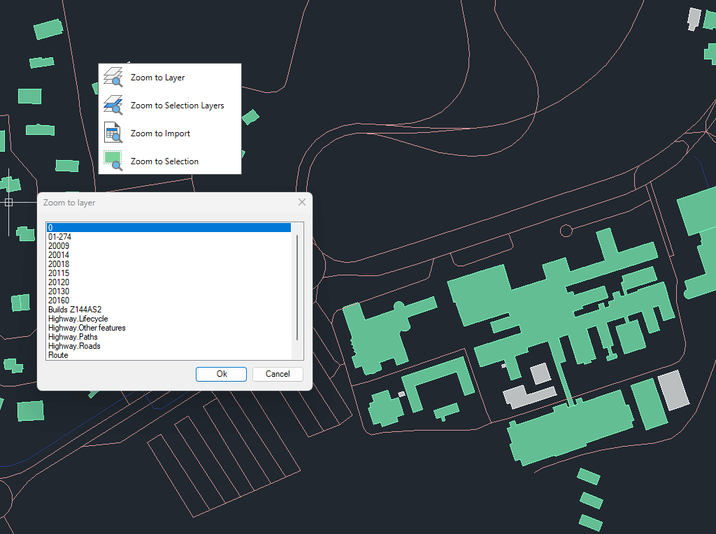
Permite hacer zoom rápidamente para mejorar la navegación y el enfoque dentro de tus dibujos.
Puedes hacer zoom a los objetos en capas seleccionadas, a los objetos en las capas de los objetos actualmente seleccionados, a los resultados de la última importación o directamente a los objetos seleccionados.
Esta funcionalidad agiliza los flujos de trabajo al centrar rápidamente la vista en los datos espaciales relevantes.
Spatial Manager have some utilities for working with terrains and elevations, one of them allows to search elevations for existing points. Doing some steps it is possible to create a... more
Google Earth internally works with meters as elevation units and this can be an obstacle when feet are the desired measurement units. This tutorial explains an easy workaround for viewing... more
This article explains how to start a drafting or design project using a Google Earth imagery base. It provides step-by-step instructions on how to overlay drawings, plans, or architectural projects... more
Rubber sheeting refers to a method in mapping and surveying where a map or spatial data is adjusted or “stretched” to align with a reference map or coordinate system. This... more