Tales acciones pueden ser etiquetar datos de objetos como textos, cambios de vista inteligentes y selección avanzada de objetos del dibujo.
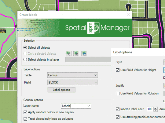
Etiquetado de valores de datos de tablas enlazadas a los objetos como Textos en AutoCAD
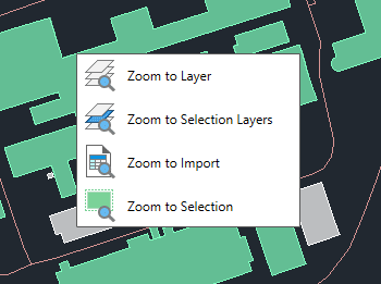
Zoom a los objetos de las capas seleccionadas, a los objetos de las capas de los objetos seleccionados, a los objetos resultantes del último proceso de importación o a los objetos seleccionados
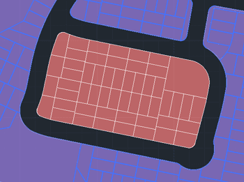
Seleccionará los objetos que no estén seleccionado en el dibujo y deseleccionará los que si estén seleccionados
Quickly switch polylines between 2D and 3D formats directly in your drawing. The tool maintains accuracy and consistency throughout the process, retaining essential properties such as layer or color of... more
Spatial Manager have some utilities for working with terrains and elevations, one of them allows to search elevations for existing points. Doing some steps it is possible to create a... more
Google Earth internally works with meters as elevation units and this can be an obstacle when feet are the desired measurement units. This tutorial explains an easy workaround for viewing... more
This article explains how to start a drafting or design project using a Google Earth imagery base. It provides step-by-step instructions on how to overlay drawings, plans, or architectural projects... more