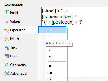
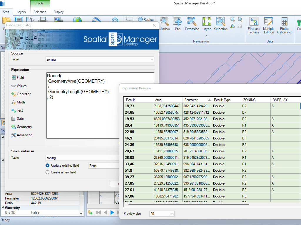
Herramientas para calcular y extraer propiedades geométricas como área, perímetro, coordenadas y valores de elevación.
Estos valores pueden almacenarse en campos de atributos nuevos o existentes.
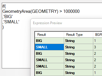
Las funciones geométricas también pueden usarse en expresiones condicionales, por ejemplo, para clasificar o filtrar elementos según su tamaño o ubicación, mejorando el análisis y la organización de datos espaciales.
Reverse geocoding is the process of converting geographic coordinates (latitude and longitude) into a human-readable address or place name. This is typically done using a reverse geocoding service or API,... more
GML (Geography Markup Language) is an XML-based language created by the Open Geospatial Consortium (OGC) for modeling, transporting, and storing geographic information. GML files classify elements by type, Spatial Manager... more
Perform calculations on new or existing field values by applying a wide range of operators and functions, such as arithmetic operations (addition, subtraction, multiplication, division), mathematical functions (square root, logarithms,... more
Direct geocoding is the process of converting an address or a place name into geographic coordinates (latitude and longitude). This is typically done using a geocoding service or API, which... more