Exportoptionen in ZWCAD
Exportieren Sie ausgewählte Objekte als Polygone, Features oder gesamte Zeichnungen in geospatiale Ziele
Entdecken Sie das volle Potenzial dieses Werkzeugsatzes, der entwickelt wurde, um die Integration und Bearbeitung von GIS-Daten in ZWCAD zu verbessern.
Objekte, die in Geodateien oder Server exportiert werden
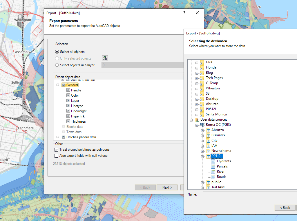
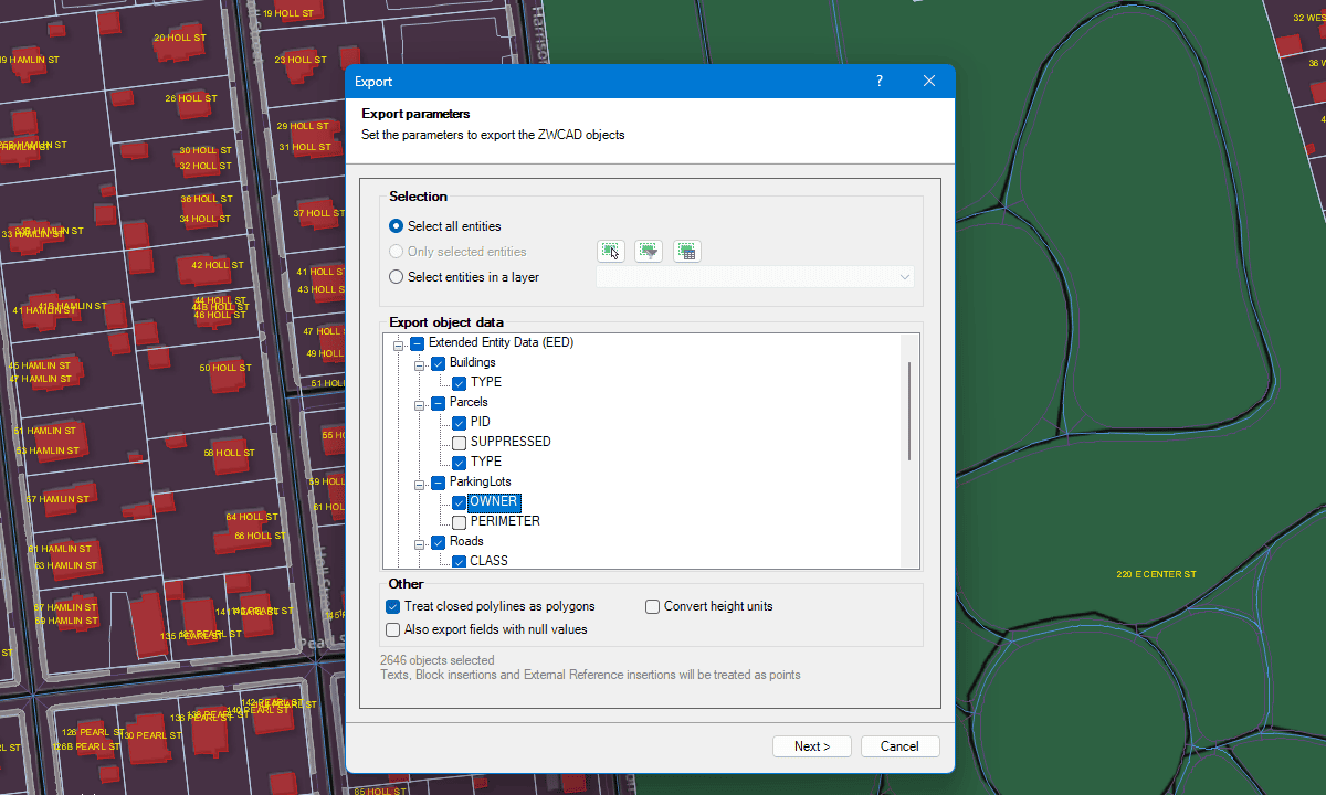
Wählen Sie die zu exportierenden Objekte aus

Option, die geschlossenen Polylinien als Polygone zu behandeln

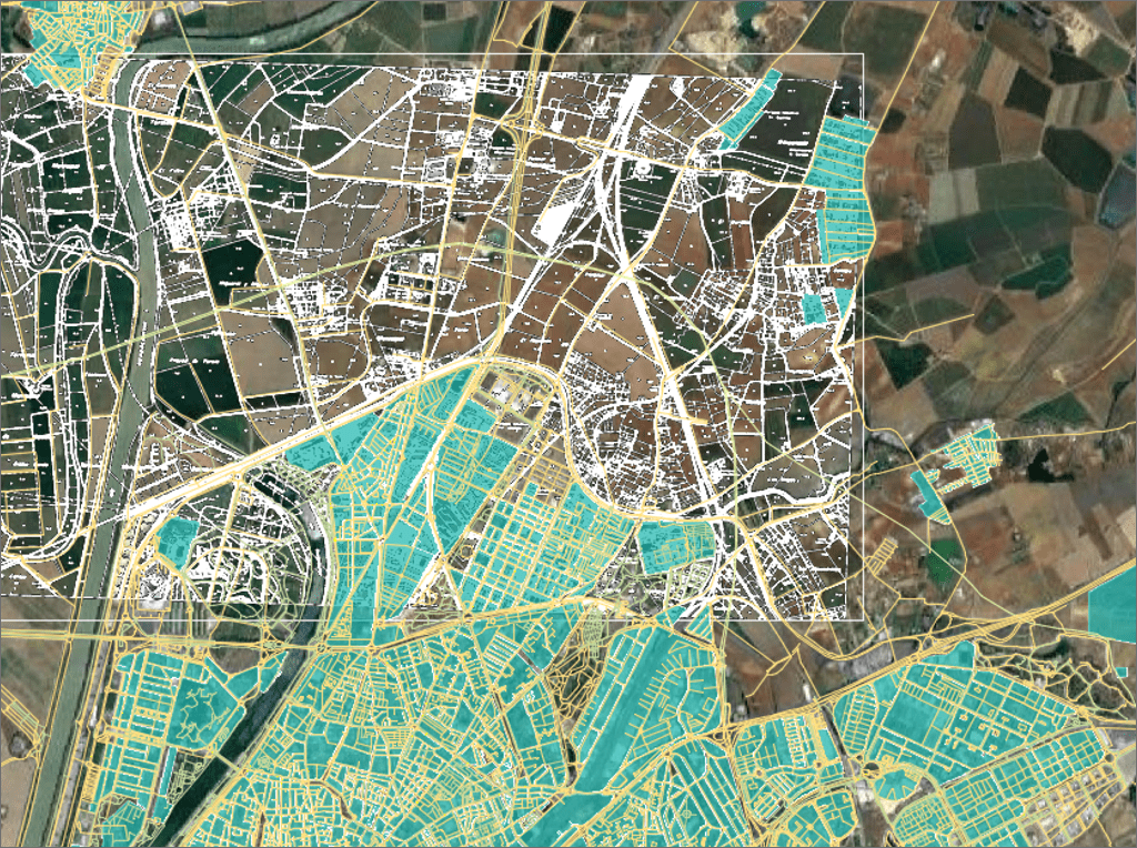
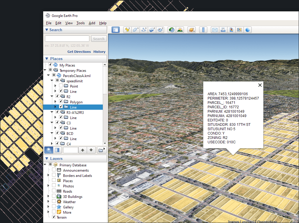
Exportieren Sie Objekte direkt aus ZWCAD mit nur einem Klick nach Google Earth
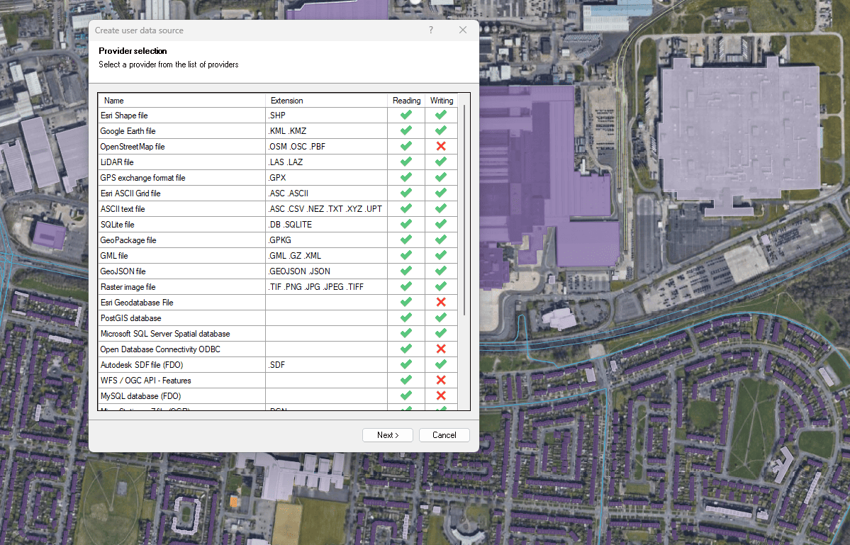
Export in räumliche Dateien und Datenbanken
Verbessert in V10Exportieren Sie ZWCAD-Objekte in räumliche Dateien oder Server

Easily convert your DWG/DXF files to KML/KMZ for Google Earth quickly and accurately. You can export the entire drawing or only a selection of specific objects, preserving the structure, layers,... more

Google Earth internally uses meters for elevation units, which can be an obstacle when feet are required. This tutorial explains an easy workaround for viewing contour elevation values in Google... more

An ESRI Geodatabase File (FileGDB) is a powerful database system designed to store, query, and manage spatial data as a collection of files stored directly on disk without requiring a... more

Height units remain unchanged when coordinate conversions are applied, but sometimes you need to change them, especially when the target format is limited to a specific unit. This happens with... more