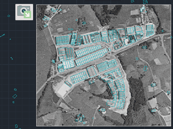
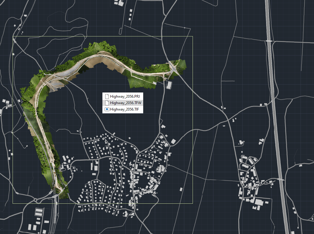
Exportieren Sie die vollständigen Georeferenzierungsdaten eines beliebigen Rasterbildes in Ihrer Zeichnung in eine externe World-Datei.
Eine World-Datei ist eine Textdatei, die in GIS verwendet wird, um räumliche Referenzinformationen wie Standort, Maßstab und Rotation des Bildes zu speichern und so das Rasterbild korrekt innerhalb geografischer Koordinatensysteme auszurichten, wenn es in andere GIS- oder CAD-Software importiert wird.
Dies stellt sicher, dass Ihre Bilder plattformübergreifend genau positioniert bleiben.
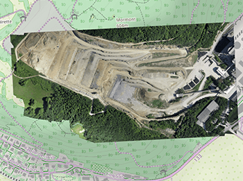
This article explains how to start a drafting or design project using a Google Earth imagery base. It provides step-by-step instructions on how to overlay drawings, plans, or architectural projects... more
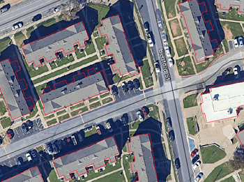
Download historical imagery directly from Google Earth to your DWG using your preferred CAD platform for enhanced accuracy and analysis. Get aerial photographs from different dates and compare the evolution... more
Learn quickly and easily how to integrate Google Earth high quality images with your DWG using your preferred CAD platform. A wide range of resolutions are available up to 8K... more
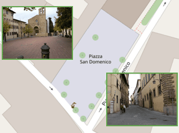
Today, it is very common to get photographs with embedded GPS location. You can take these kind of pictures easily with your own mobile or camera. Latitude and longitude is... more