Koordinatenreferenzsysteme in BricsCAD
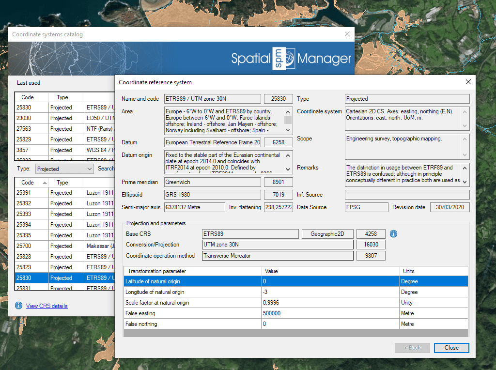
Einheitlicher Katalog für KBS-Zuweisung und Koordinatentransformation
Entdecken Sie das volle Potenzial dieses Werkzeugsatzes, der entwickelt wurde, um die Integration und Bearbeitung von GIS-Daten in BricsCAD zu verbessern.
Einheitliches CRS-System
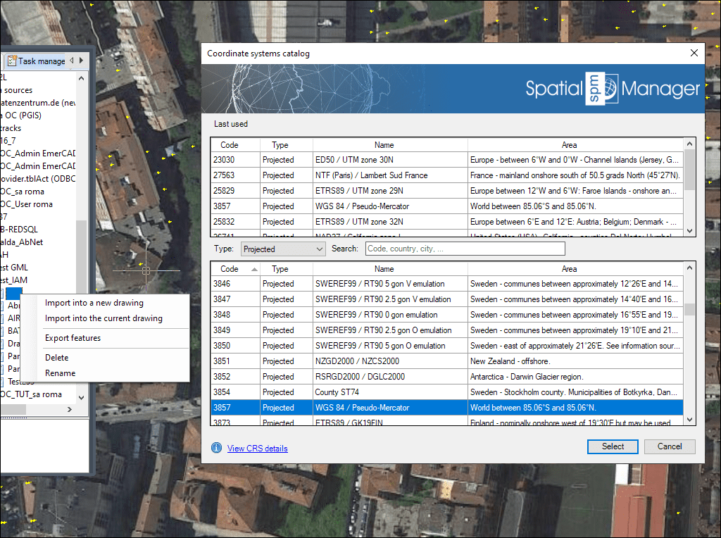
Aktualisierte Objektliste für Koordinatensysteme
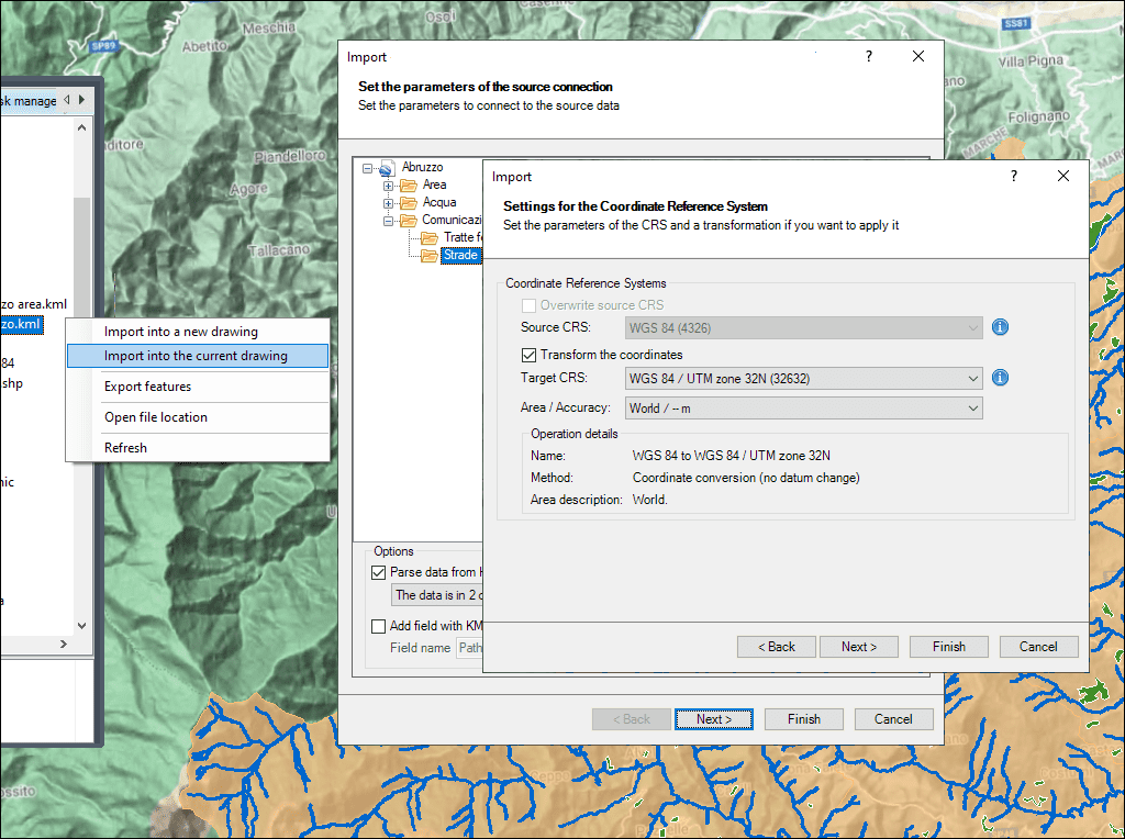
Automatische Koordinatentransformation mit wählbaren Varianten
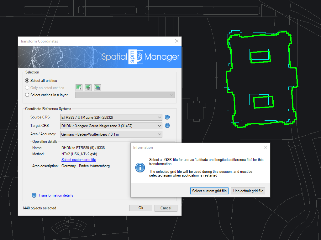
Laden Sie benutzerdefinierte Rasterdateien und definieren Sie eigene Koordinatensysteme
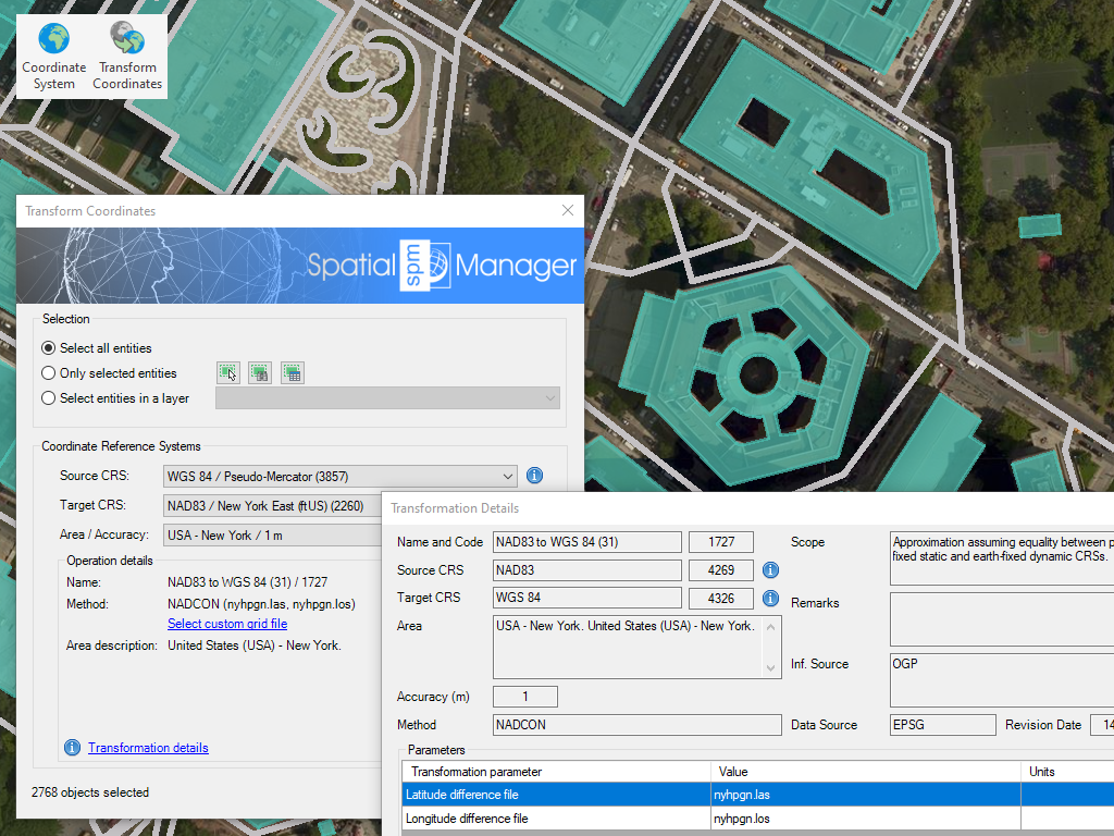
Umwandlung des Koordinatensystems (CRS) einer gesamten Zeichnung oder eines Satzes ausgewählter Objekte, wodurch automatisch eine neue Zeichnung mit geometrisch neu generierten Objekten aus der aktuellen Zeichnung gemäß der ausgewählten Umwandlung zwischen zwei CRS erstellt wird
* Nur in der Professional Edition verfügbar

Rubber sheeting refers to a method in mapping and surveying where a map or spatial data is adjusted or “stretched” to align with a reference map or coordinate system. This... more

When working with data sets from different sources, there are often differences in alignment between elements. The SPMRUBBERSHEET command allows you to select base points and reference points to modify... more

Many ‘Spatial Manager’ functions (Import, Export, Background Maps, etc.) can automatically perform a process of coordinates Transformation from the source to the target as part of the sequence executed by... more

The functionality of transforming the coordinate system (CRS) of a drawing in ONE STEP is one of the tools most requested by the application users. This operation, which in some... more