Vorgegebene Kartendienste in BricsCAD
Verbessert in V10Zugriff auf vielfältige, hochwertige Hintergrundkarten von mehreren Anbietern
Entdecken Sie das volle Potenzial dieses Werkzeugsatzes, der entwickelt wurde, um die Integration und Bearbeitung von GIS-Daten in BricsCAD zu verbessern.
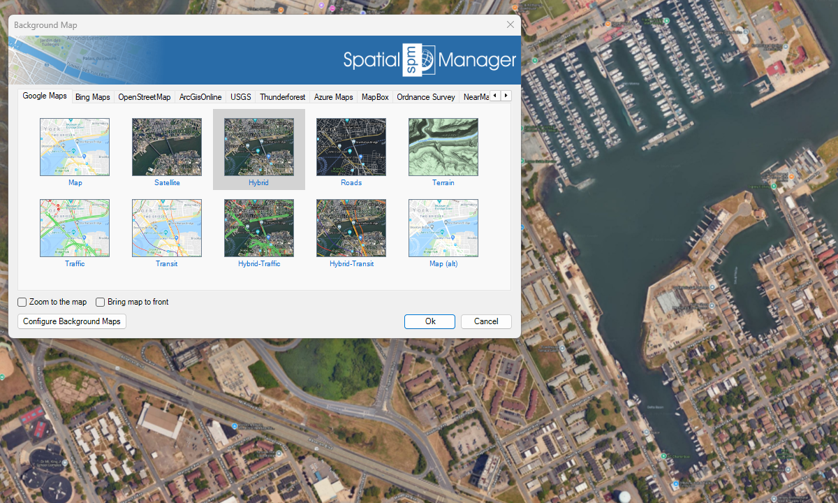
Google Maps
Bing Maps

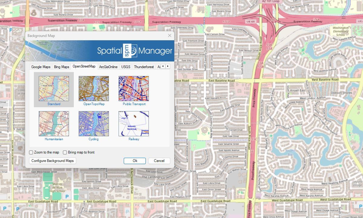
OpenStreetMap
ArcGIS

USGS

Azure Maps
Neu in V10
Sonstige

Hinweise
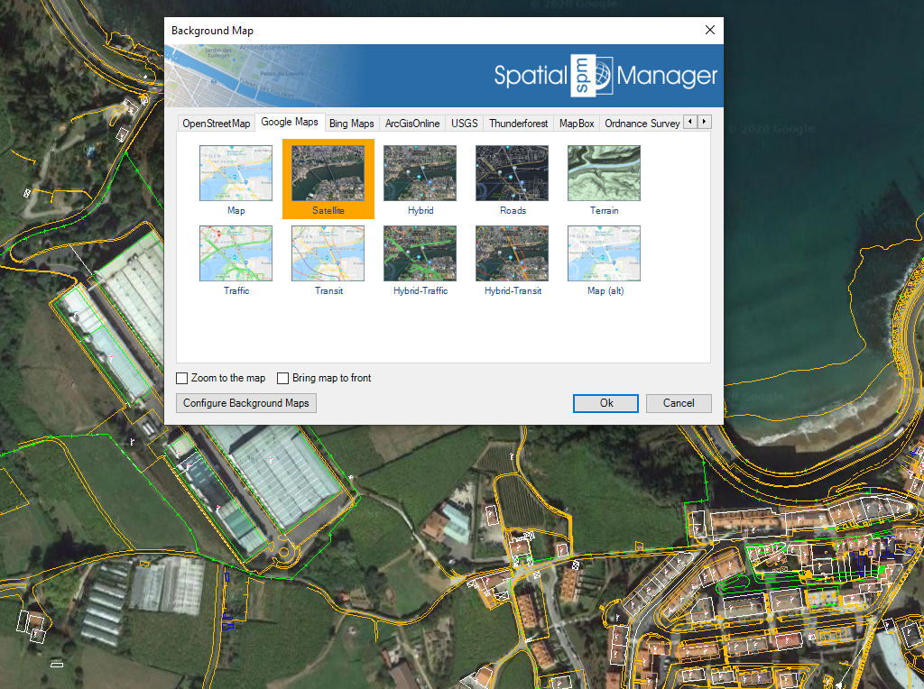
Hintergrundkarten einfach steuern und nutzen – beim Arbeiten oder Entwerfen
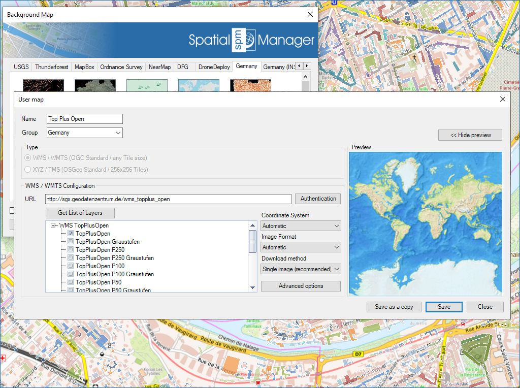
Konfigurieren Sie neue benutzerdefinierte Karten mit minimalem Datenaufwand und teilen Sie die Konfiguration mit anderen Benutzern
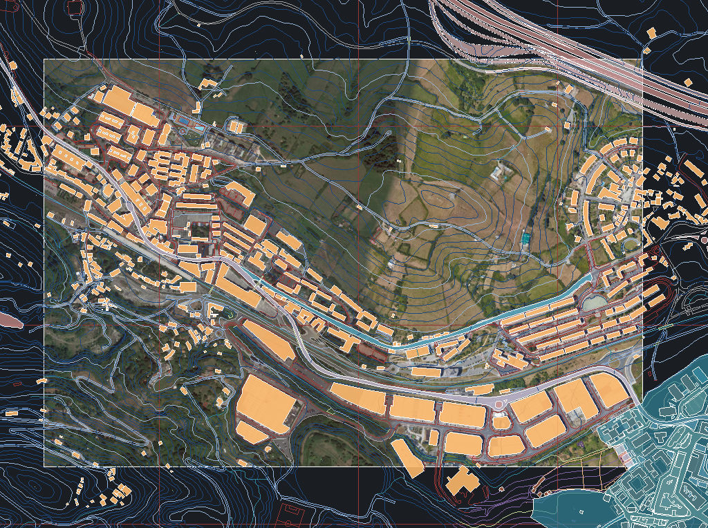
Erfassen Sie statische Hintergrundkartenbilder und fügen Sie sie als Rasterbilder (PNG, JPG, TIF) oder OLE-Objekte in die Zeichnung ein. Die Schnappschüsse können über eine World-Datei georeferenziert werden, und der Detailgrad der Bilder ist wählbar. Ideal für Präsentationen, Druck oder externe GIS-Nutzung.
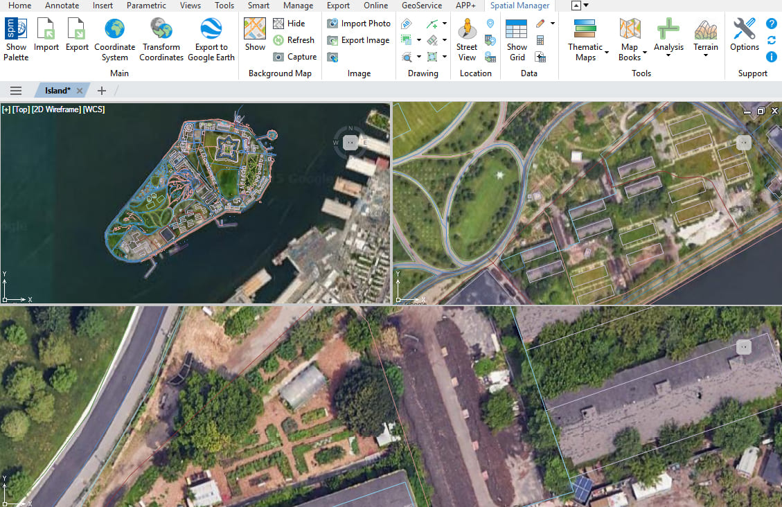
Mehrere Karten und Ansichten
Verbessert in V10Mehrere Hintergrundkarten in verschiedenen Ansichten und Ansichtsfenstern verwalten und anzeigen
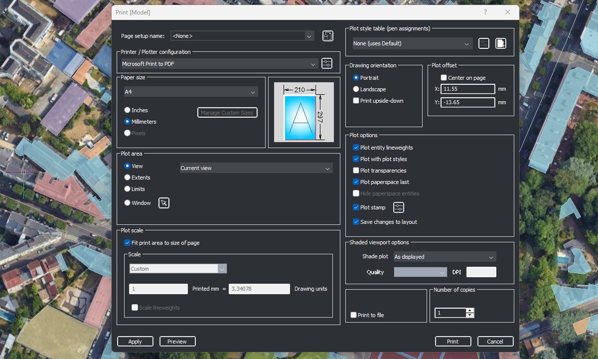
Druckbare Hintergrundkarten
Verbessert in V10Hintergrundkarten in gedruckte Zeichnungen einfügen und veröffentlichen

Background maps can be displayed simultaneously in multiple views, including both model space and layout viewports. Whenever changes occur, the background maps are automatically refreshed so that they remain accurate... more

With Spatial Manager, you can load multiple maps from different sources and compose an advanced view. Arrange their display priority and control their visibility independently, making it easier than ever... more

Mapflow is a cutting-edge geospatial intelligence platform leveraging artificial intelligence to automatically identify and classify geographic objects–such as buildings, roads, and forested areas–within satellite and aerial imagery. Mapflow enables high-precision... more

The Farm Service Agency of the U.S. Department of Agriculture (USDA) provides web services for accessing the National Agriculture Imagery Program (NAIP). Spatial Manager products provide an easy way to... more