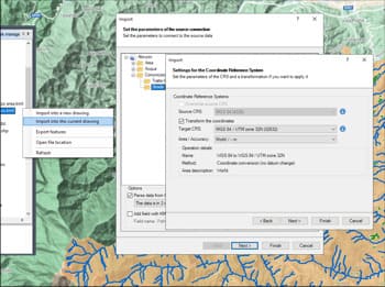
Die Anwendung weist in typischen Fällen automatisch das Quell-KBS zu — zum Beispiel WGS84 beim Import aus Google Earth (KML/KMZ) — und ermöglicht die Auswahl eines Standard-Ziel-KBS. Für jede Transformation zwischen zwei Koordinatensystemen stehen mehrere Varianten zur Verfügung, die je nach Region unterschiedliche Genauigkeiten bieten. Alle Transformationsdetails wie Methode und Parameter können vor der Ausführung überprüft werden.
Entdecken Sie das volle Potenzial dieses Werkzeugsatzes, der entwickelt wurde, um die Integration und Bearbeitung von GIS-Daten in AutoCAD zu verbessern.
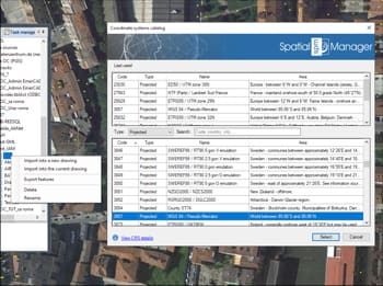
Die App hilft bei der Eingabe von Konfigurationseinstellungen. Wenn Sie beispielsweise aus Google Earth (KML/KMZ) importieren, wird das Quell-CRS automatisch auf WGS84 und das Ziel-CRS auf ein standardmäßig projiziertes CRS festgelegt.
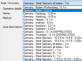
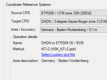
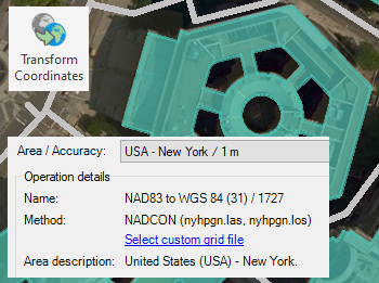
Für Koordinatentransformationen zwischen zwei Koordinatenreferenzsystemen stehen mehrere Varianten zur Auswahl. Jede Variante bietet eine spezifische Genauigkeit für einen bestimmten Bereich, und alle Details – wie Transformationsmethode und -parameter – können überprüft werden.
Rubber sheeting refers to a method in mapping and surveying where a map or spatial data is adjusted or “stretched” to align with a reference map or coordinate system. This... more
When working with data sets from different sources, there are often differences in alignment between elements. The SPMRUBBERSHEET command allows to select base points and reference points to modify vertices... more
Many ‘Spatial Manager’ functions (Import, Export, Background Maps, etc.) can automatically perform a process of coordinates Transformation from the source to the target as part of the sequence executed by... more
The functionality of transforming the coordinate system (CRS) of a drawing in ONE STEP is one of the tools most requested by the application users. This operation, which in some... more