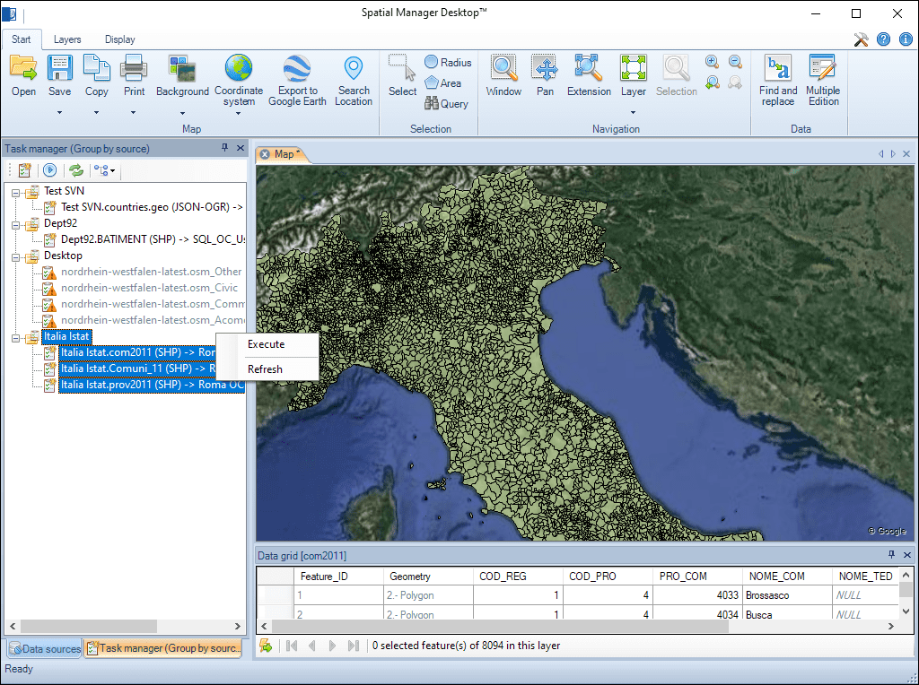
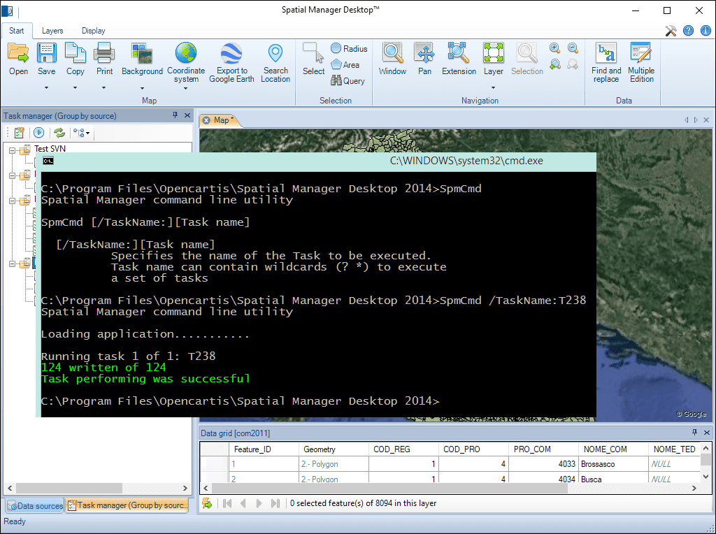
Spatial Manager Desktop™ ermöglicht es Ihnen, Import- und Exportvorgänge zusammen mit deren Einstellungen als wiederverwendbare Aufgaben zu speichern.
Diese Aufgaben können über ein spezielles Bedienfeld verwaltet werden, sodass Sie wiederkehrende Arbeitsabläufe schnell ausführen und deren Parameter einfach überprüfen oder anpassen können — zur Optimierung Ihres Spatial-Datenmanagements.
Access and import authoritative LINZ (Land Information New Zealand) vector datasets directly into your DWG through the LINZ WFS (Web Feature Service). Spatial Manager connects to the WFS endpoint and... more
Download and import official Land Information New Zealand (LINZ) data into a DWG using Spatial Manager, either through open services (WFS / OGC API Features) or distributed files (SHP, GeoJSON,... more
View detailed, high-resolution LINZ background maps directly in your DWG through WMTS services–no prior tile download required. Spatial Manager connects to the LINZ WMTS endpoint, requests only the tiles needed... more
OGC API Features is a modern, RESTful standard developed by the Open Geospatial Consortium (OGC) for accessing and managing geospatial feature data over the web. It is the evolution of... more