Ebenen in Karten abbilden
Abbilden der Elemente in den Ebenen ohne Vorbereitung entsprechend ihren CRSs und dem CRS der Karte. Wenn einer dieser Parameter geändert wird, wird die Karte aktualisiert und die neue Projektion wird automatisch im Arbeitsbereich angezeigt
Ebenen in Karten abbilden
Änderungen an diesen Koordinatensystemen lösen automatische Kartenaktualisierungen aus, die die neuen Projektionen sofort im Arbeitsbereich anzeigen und so eine nahtlose räumliche Genauigkeit gewährleisten.
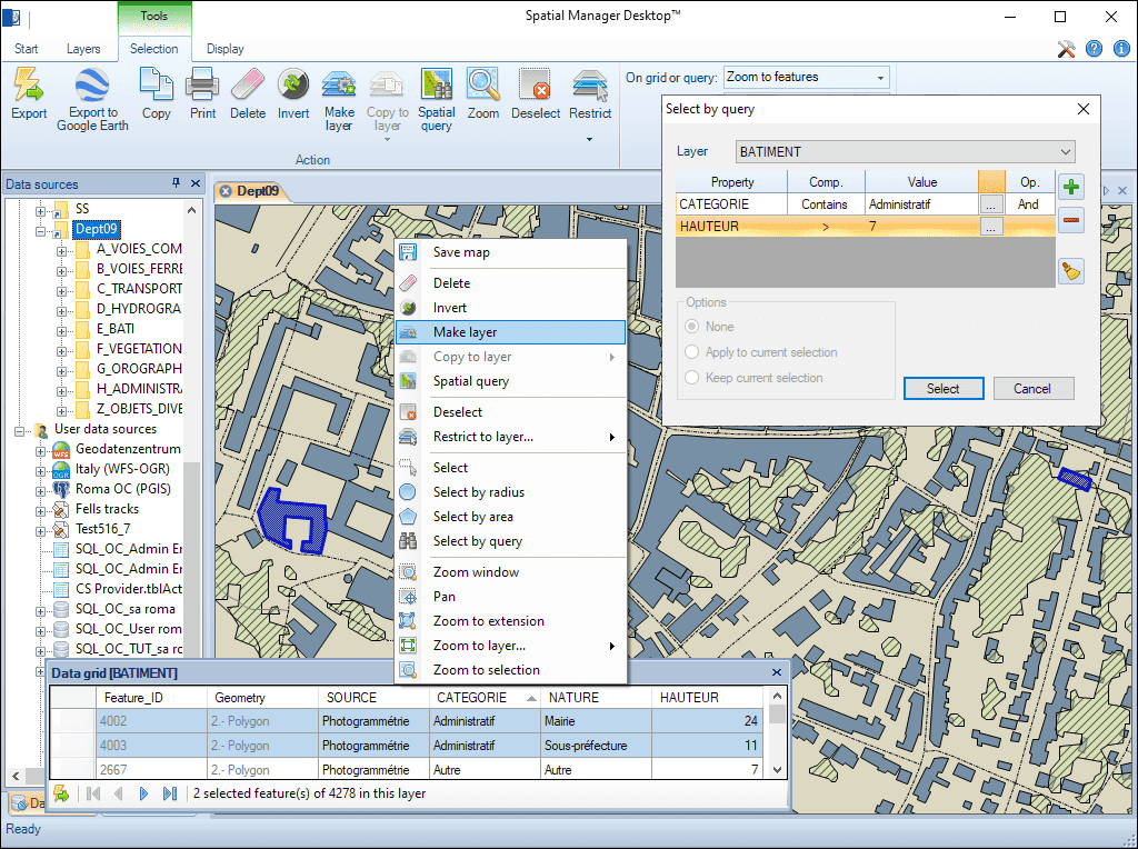
Neue Ebenen in einer Karte zum Exportieren, Hervorheben usw. von Elementen einer Karte. Die neuen Ebenen können in den Karten gespeichert oder in externe Quellen exportiert werden und Elemente enthalten, die von mehreren vorhandenen Ebenen stammen. Konvertieren Sie schreibgeschützte in bearbeitbare Ebenen

Erstellen Sie neue Ebenen basierend auf einer anderen Ebene gemäß den Werten eines Feldes in der ursprünglichen Ebene, um nach Themen oder Daten zu unterscheiden
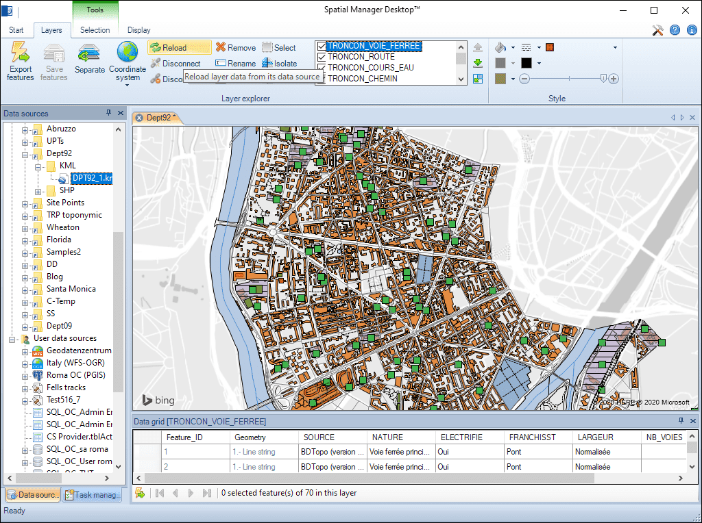
Führen Sie externe und interne Ebenen in einer Karte zusammen. Die externen Ebenen werden von einer externen Geo-Quelle geladen. Die internen (oder in die Karte eingebetteten) Ebenen werden mithilfe einer SQLite-Struktur in den Karten gespeichert

Konvertieren Sie externe Ebenen in interne Ebenen, indem Sie sie von ihrer Datenquelle trennen. Durch die Trennung aller Ebenen können in sich geschlossene Karten gespeichert werden

Kopieren Sie Elemente aus verschiedenen Ebenen in einen andere Ebenen, um sie zusammenzuführen. Exportieren Sie diese Ebene, um eine kombinierte externe Tabelle zu erhalten

Scenario #1: We need to quickly check which the appropriate file is, between three Shapefiles (SHP) files that include the same data but whose spatial geometric information is different Spatial Manager™ software is... more

One of the main problems of sharing maps with other users, and to be able to send a compact information, is the need to likewise share the data sources of the... more

When working with external Layers, which are loaded into a Map by reading spatial data sources, one of the usual problems is the modification (change of name, change of location,... more

Using base maps (roads, aerial, etc.) from imagery providers allows, not only the composition of more attractive Maps in mapping applications, but also the use of these base images as a practical... more