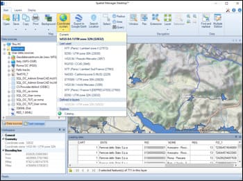
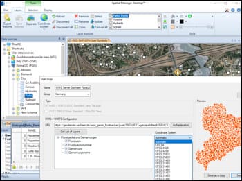
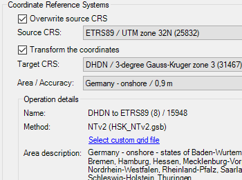
Während Import- oder Exportvorgängen können Objekte automatisch zwischen Koordinatensystemen transformiert werden.
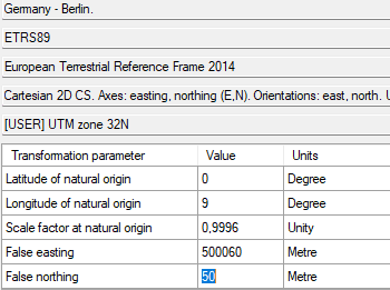
Wähle das Quell- und Ziel-KBS aus einem vollständigen Katalog mit schnellem Zugriff auf zuletzt verwendete oder bevorzugte Systeme.
Dies gewährleistet räumliche Genauigkeit beim Arbeiten mit Daten aus unterschiedlichen geografischen Referenzen.
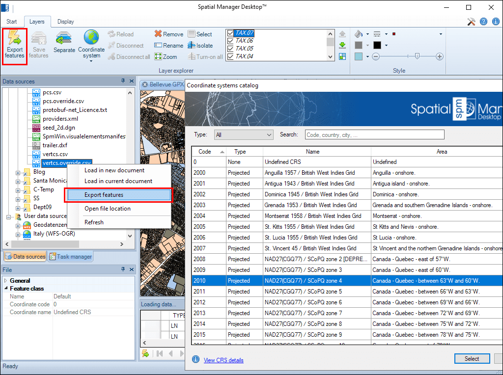
Many ‘Spatial Manager’ functions (Import, Export, Background Maps, etc.) can automatically perform a process of coordinates Transformation from the source to the target as part of the sequence executed by... more
An application whose primary focus is the spatial information handling (such as ‘Spatial Manager’), must include specific functionalities related to Coordinate Reference Systems (CRSs) and Transformations of geographic data... more
Over the last few days a large number of Coordinate Systems used in Western Australia have been added to the ‘Spatial Manager’ geographic databases, along with all the required... more
Using base maps (roads, aerial, etc.) from imagery providers allows, not only the composition of more attractive Maps in mapping applications, but also the use of these base images as a practical... more