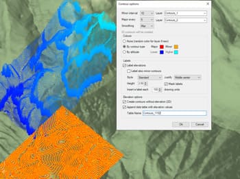
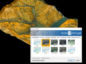
Spatial Manager™ for ZWCAD enables the creation and use of 3D points derived from multiple sources.
You can generate 3D points from Points or Blocks selected within your drawing or obtain elevation data from online service providers for any chosen area. Additionally, existing terrain models previously generated can be used as a source of 3D geometry.
These points serve as a foundation for building terrain models, generating contours, or supporting other spatial analyses within ZWCAD.
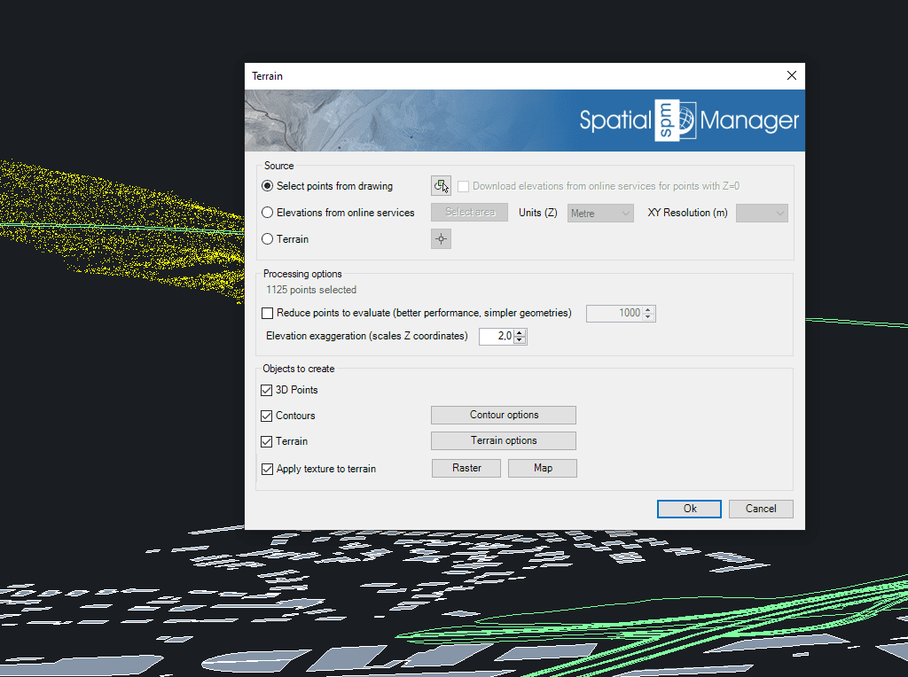
Spatial Manager have some utilities for working with terrains and elevations, one of them allows to search elevations for existing points. Doing some steps it is possible to create a... more
Spatial Manager (CAD versions) includes the option to Insert Nodes when importing objects such as Polylines or Polygons. These nodes can be created as Points or as Block Inserts (if... more
In order to enhance the visibility of Contour Labels, ‘Spatial Manager’ (CAD versions) now includes some new options which can also be applied to the object Labels while Importing. In... more
Spatial Manager Terrain Assistant, available in the CAD versions (AutoCAD, BricsCAD and ZWCAD), provides the user with intuitive tools for processing 2D/3D Terrain information (Points, Contours, and Digital Terrain Models).... more